'We are now at the tipping point': Avalanche warnings in effect for much of B.C.
Centres say warmer temperatures, rain, loose snow and expected storm increase the risk
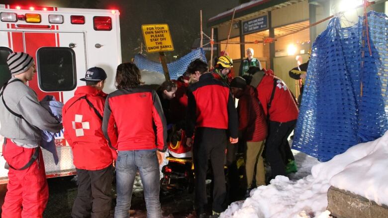
Weak layers of snow and another predicted dump of powder over the weekend could heighten avalanche risks across B.C.
Avalanche Canada has issued a special public warning for much of the B.C. Interior that is expected to last through the weekend.
"It's a complex situation and we are now at the tipping point," James Floyer with Avalanche Canada said in a statement. "The warmer temperatures forecast for the coming weekend will definitely increase the chances of triggering an avalanche."
Avalanche Canada says the regions of particular concern are:
- Lizard Range and Flathead
- South Rockies
- Purcells
- Kootenay Boundary
- North and South Columbia
- Glacier National Park
- The Cariboos.
Less danger on South Coast
On B.C.'s South Coast, the avalanche danger rating is pegged at "moderate" to "considerable," increasing at higher elevations.
Moderate danger means natural avalanches are unlikely, but human-caused ones are possible, according to the centre, and backcountry users are advised to "evaluate snow and terrain carefully."
Considerable danger means human-caused avalanches are likely and call for greater caution to be exercised.
Mount Seymour and Golden Ears Park are included in the South Coast forecast area.
Loose, wet snow on Vancouver Island
On Vancouver Island, the danger ratings through the weekend will be high at the alpine level and moderate and considerable at the levels below treeline and at the treeline, respectively.
The Vancouver Island Avalanche Centre says a forecasted storm and winds will create "wind slabs" of delicate snow.
"The slabs will be touchy ... [and] almost certainly going to be triggered naturally and will be reactive to human activity," the centre wrote.
The centre warns that rain will create loose, wet snow that will be especially sensitive to human activity at all elevations.
With files from CBC Radio One's All Points West


_(720p).jpg)


 OFFICIAL HD MUSIC VIDEO.jpg)
.jpg)


