Snowstorm Part Three? New weather statement issued for B.C.'s South Coast
Snow expected to turn to rain in lower elevations by Monday
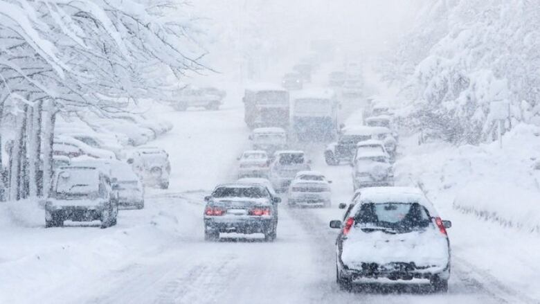
For thosetired of the deep freeze that has settled on B.C.'sLower Mainland, some good news: temperatures are expected to rise next week.
The bad news? It's likely to come only after a third weather system that will bring more snow.
Environment Canada has issued a special weather statement for Metro Vancouver and Vancouver Island, as a new Pacific front is expected to hit on Saturday night.
- Metro Vancouver's snowiest day in years causes widespread closures
- Metro Vancouver snow causing closures and traffic incidents
- Monday morning snow surprises and sours South Coasters
"It's basically been two weeks of Arctic air," says CBC meteorologist Johanna Wagstaffe,
"Pacific air will be moving in this weekend,but as the moisture is in the cold air, it will start off as snow."
That could mean anywhere from fiveto 25 centimetres of snow will fall from Saturday to Sunday depending on the exact region similar to last weekend's storm.
However, by midday Monday, the snow is likely to turn to rain for coastal Vancouver Island communities and Metro Vancouver, with a risk of freezing rain for the Fraser Valley, Howe Sound, and inland Vancouver Island communities.
"This time, the Pacific air is here to stay, temperatures will be warming up by eight degrees, and a second surge of moisture from the Pacific will change that snow over to rain," said Wagstaffe.


_(720p).jpg)


 OFFICIAL HD MUSIC VIDEO.jpg)
.jpg)


