No heat dome repeat, but high temperatures coming to most of B.C. this weekend
Records not expected to fall despite special weather statements
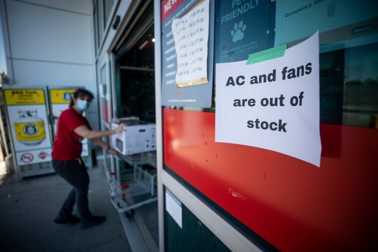
Environment Canada says the first significant heat of the year set to begin today and last into Monday will be five to 10 degreesabove normal for the South Coast, Interior and Dease Lake regions of the province.
A special weather statement is in effect, but according to warning preparedness meteorologist Armel Castellan, the temperatures won't comeclose to breaking any of the records set duringlast year's heat dome inferno.
"This is not a heat dome 2.0 of June 2021," said Castellan. "We are not going to reach heat warning criteria mostly because the air mass is too dry and the overnight lows will stay below those criteria."
Vancouver's forecast is calling for daytime highs into the low 30s with overnight lows cooling to the mid-teens.
Lytton is expected to see a peak temperature of 36 C on Monday. On June 29, 2021, the town broke Canada's all-time heat record reaching 49.6C, before burning to the ground in a wildfire adaylater.
Castellan said the hot weather brings with it the potential for heat-related illness for susceptible populations, and urged caution. As well, he said the public needs to be careful around high and fast-running rivers and streams, and be aware of the hypothermia risks of cold water.
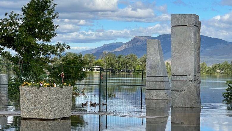
The Quesnel River is under a flood warning with flood watches and high-stream advisories issued for several interior regions of the province.
While the warmer weather is expected to increase the rate of snow melt, the impact on streams and rivers is expected to be modest.
"There certainly is the possibility to see some gradual rising as we go through the latter part of the weekend, particularly in those high elevations sites including the upper Fraser River, the South Thompson River as well as the main stem of the Thompson," said Dave Campbell of the River Forecast Centre.
Wildfiresnumbersin the province are abouthalf of the normal rate, thanks to a cooler and wetter spring weather. The B.C. Wildfire Service registered170 wildfires so far this year, compared to anaverage of around 340.
According to the long-range forecast, there is a possibility of severe thunderstorms and heavy rain around Prince George and Prince Rupert starting on Tuesday when the heat event ends.


_(720p).jpg)


 OFFICIAL HD MUSIC VIDEO.jpg)
.jpg)


