More snow, cold temperatures ahead for week
After record-breaking weekend, snow remains in forecast.
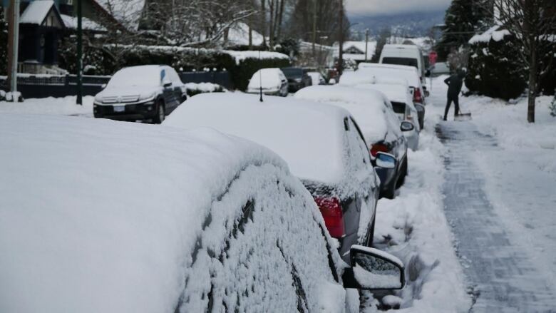
The winter weather that has caused school closures, commuter chaos and power outagesisn't going to let upanytime soon.
Environment Canada has reissued snowfall warnings for Metro Vancouver and the FraserValley, with up to 15centimetres of new snow expected to fall by tomorrow morning.
As the flakes began to fly Friday,records began to fall, with Vancouver airport reporting 12 centimetres of snow by the end of the day beating the old record of 10.7 centimetres that was set in 1947. By Monday, some areas around Chilliwackhadnearly 80 centimetres piled up.
'It's just day after day of it.'
Environment Canada meteorologist Jennifer Hay says more winter weather is ahead of us.
"It's just day after day of it. There's a low [pressure sytem]that's just west of the island. It's sitting in place and it's acting as a funnel to bring in other systems off the ocean and it's meeting cold air from the interior."

With snow expected to hit again later Monday and continue overnight, many areas could see an additional five to 15 centimetres by Tuesday morning. Freezing temperatures will ensure the white stuff sticks around until another pacific storm arrives Wednesday bringing heavy snow before changing over to rain.
But we won't stay in the deep freeze for too long milder air will finally move in for the second half of the week bringing rain and much milder temperatures to the Lower Mainland.


_(720p).jpg)


 OFFICIAL HD MUSIC VIDEO.jpg)
.jpg)


