Heavy rain hits B.C. coast as cool weather tempers fires in north
Snow forecast for mountain passes as frontal system moves across province
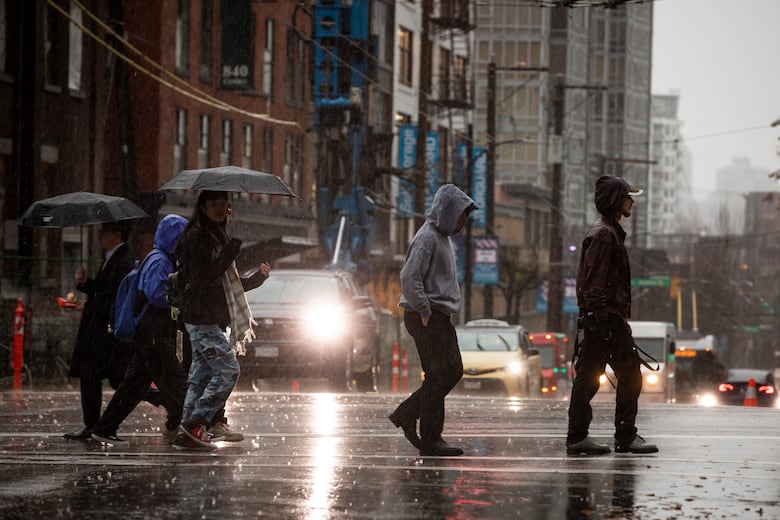
Heavy, sustained rainfall is expected for British Columbia's Lower Mainland through Tuesday night, prompting a warning from Environment Canada.
The forecaster says a frontal system has already brought heavy rain to some parts of Metro Vancouver, and up to 50 millimetres could fall before Wednesday morning.
Heavy precipitation can cause flash flooding, Environment Canada warned, adding that localized flooding in low-lying areas is possible.
A special weather statement is in effect for the Coquihalla Highway from Hope to Merritt, the Okanagan Connector west of Kelowna, and the Allison and Kootenay passes on Highway 3, where snow is expected. Environment Canada is forecasting two to four centimetres of snowfall, but higher amounts are possible.
Highway travellers are being reminded to prepare for changing weather and road conditions, especially as winter tires are not officially requiredto travel B.C. highways at this time of year.
Anyone planning a trip on B.C. highways can check DriveBC.ca for the latest conditions.
Cool, wet conditions in north
TheB.C. Wildfire Service says cooler, wetter conditions are allowing crews to make progress tackling fires in the province's northeast, where thousands of evacuees remain out of their homes for a second week.
Fort Nelson is looking at a high of 11 C on Tuesday, with periods of rain, according to Environment Canada.
The wildfire service says the more seasonable weather is forecast to persist until Wednesday.
But it's warning that despite the favourable conditions, much of the province remains "unseasonably dry" due to the ongoing drought.
It says that means fire fuels remain "very susceptible to ignition" and wildfires can spread rapidly.
A special air quality statement is in effect for the northeast part of the province, as wildfire smoke is expected to linger over the next 48 hours.
With files from The Canadian Press


_(720p).jpg)


 OFFICIAL HD MUSIC VIDEO.jpg)
.jpg)


