Calgary gets dusting of snow as snowfall warnings end for Banff, Jasper national parks
Environment Canada's weather alert for the mountain region ended shortly before 3:30 p.m.
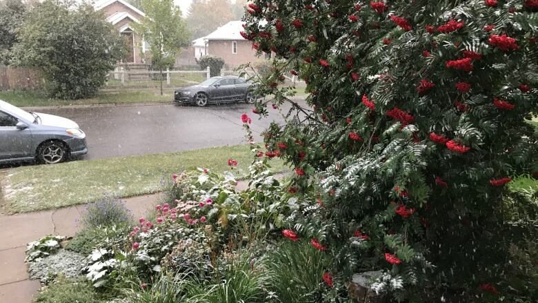
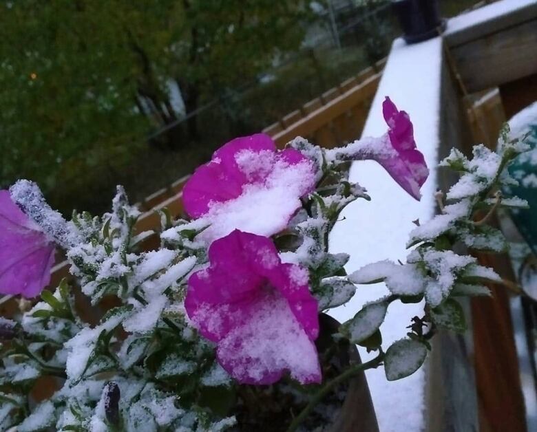
Parts of Calgary got a light dusting of snow late Thursday evening as the weather system that's been moving through Western Canada over the last two days reached southern Alberta.
Environment Canada had issued snowfall warnings for the mountain parks, but those warnings ended at about 3:30 p.m.
Ten to 15 centimetres of snow was expected to fall by afternoon or evening, the weather authority said.
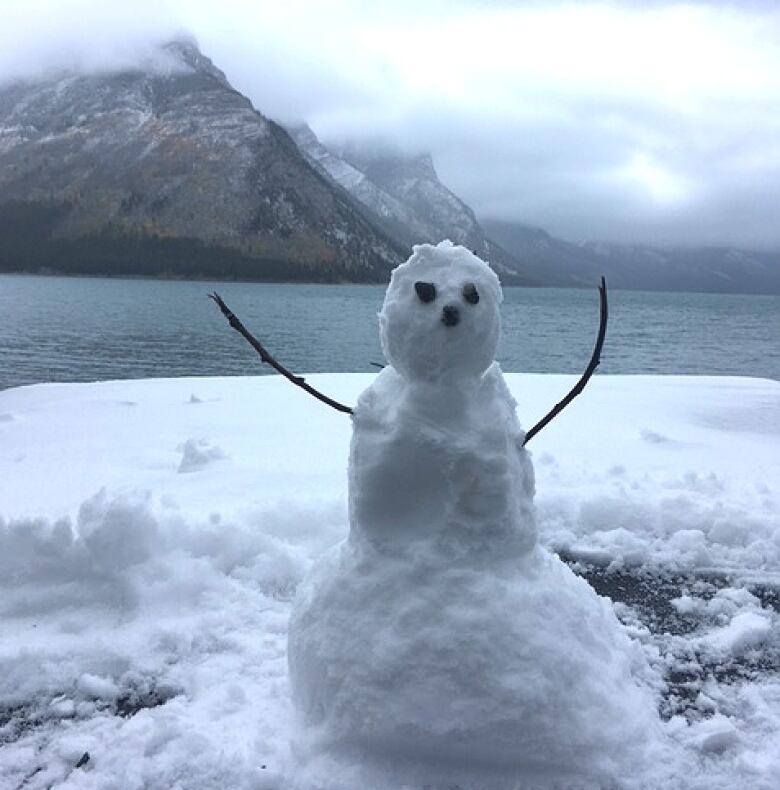
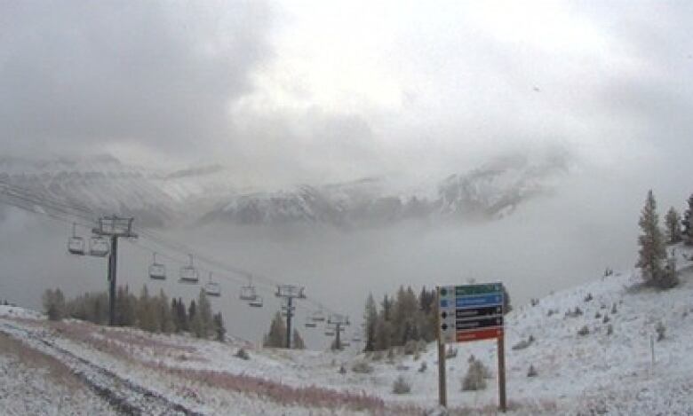
Both thetownsitesof Banff and Jasper were forecastto see some of the white stuff, but most of it fell in higher elevations.
Banff got 4 cm of snow, but 10 cm fell in Exshaw and 7 cm in Kananaskis, the agency said.
"A lot of it melts as it hits the ground so it's kind of picturesque, I think, for this time of year," Environment Canada meteorologist Dan Kulak said. "And it's not entirely unusual, though we don't get this type of weather every single year."
Environment Canada saidIcefields Parkway, or Highway 93, in particular was likely to see snow causing problems for travellers. Conditions can deteriorate quickly, the weather authority warned, and snow may reduce visibilitysuddenly and dramatically at times.
Snow fell west and north of Calgary, as well, toward Red Deer. A few snowflakes were floating around at the Calgary International Airport but nothing significant, Kulak said.
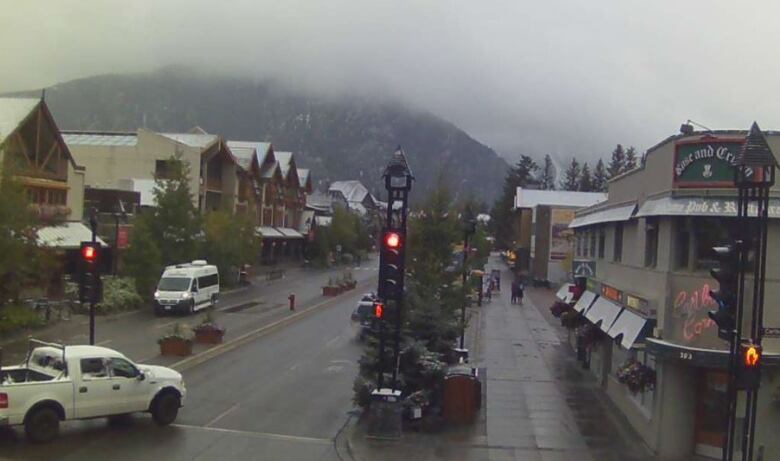
Webcamsin the mountains show the area hadalready gotten a dusting ahead of Thursday's expected weather.
At about 9 a.m., it was 2 C in both Banff and Jasper. Temperatures may drop to 1 C in Banff and 5 C in Jasper overnight.
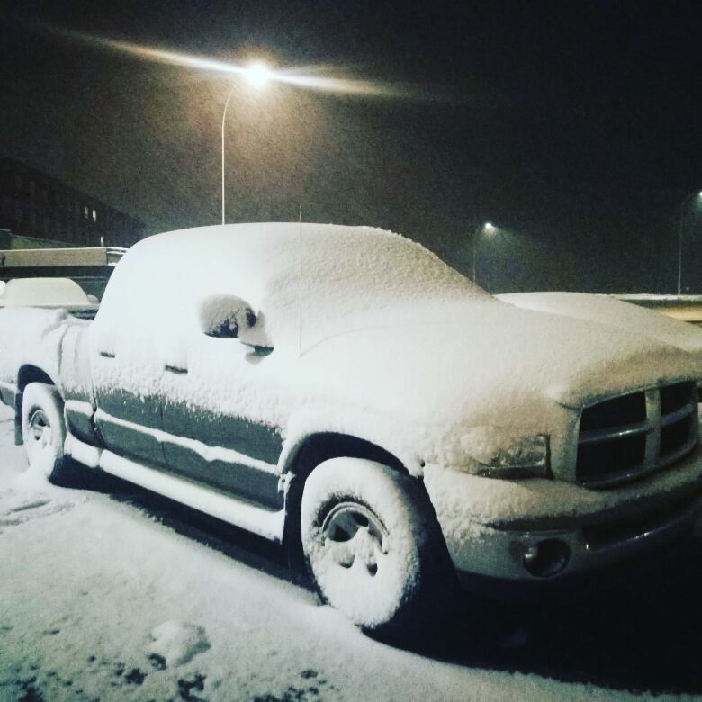
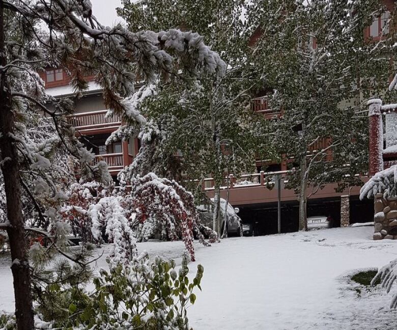
Canmoreis expected to see up to four centimetres of snow, as well, and a high of 3 C.
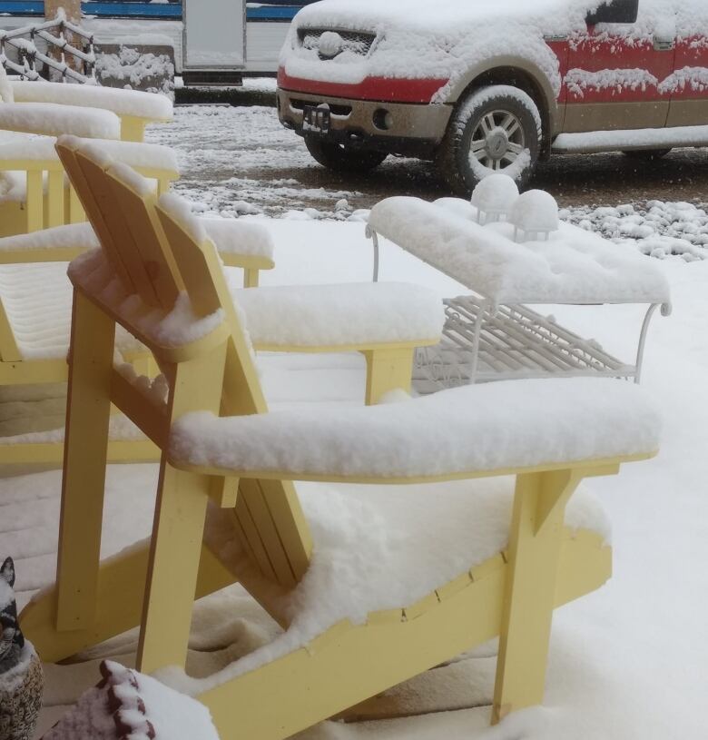
Leslie Lewis said on Twitter her backyard is already white.
Highway 1 near Deadman's Flats, leading into the mountains, was also snowy in the morning. Canmore Fire Rescue warned on Twitter that parts of the highway, especially over bridges, were ice-covered in spots.
Northwest Calgary and parts of west-central Alberta alsosaw a dusting of snow on Wednesday, though it was too little to be measured.
Is there snow or frost where you are? Send us your Calgary weather photos onFacebookorTwitter, or by emailing them tocalgaryphotos@cbc.ca.
Heading to the mountains? Pull out your woolies. This is Hwy 1 East of Deadman's Flats right now. @CBCEyeopener pic.twitter.com/xOo12SUqbB
—@Graydio1For Thursday, Environment Canada saysthe city has a 60 per cent chance of rain showers or flurries during the day and a 30 per cent chance of flurries in the evening. Temperatures may reach a high of 4 C in Calgary and drop to 0 C overnight.
Snow day in @TownofCanmore! pic.twitter.com/yKstwObb7O
—@hmcraeWeather in southern Alberta and the mountain communities is expected to improve over the coming days. Temperatures are predicted to warm to above freezing.
"Today's the last day of the really cold weather," Kulak said.
Expect temperatures in the single digits over the next several days. Typically the average temperature for this time of year is closer to 17 C, he said.
The coldest temperature measured in the province Thursday morning was at the Nakiska Ridgetop Weather Station in Kananaskis, where it was 5.6 C.
"At least after we get out of today, the threat or possibility of snow is probably going to be gone for the next little while," Kulak said.
The weekend's forecast shows some rain but no more snow.
- MORE ALBERTA NEWS |Nurse and the man she saved reunite after 'incredible' roadside rescue
- MORE ALBERTA NEWS |Constant stream of trucks still tangle northwest Calgary intersection
- Read more articles byCBC Calgary, like us onFacebookfor updates and subscribe to ourCBC Calgary newsletterfor the day's news at a glance.
With files from Elizabeth Snaddon.


_(720p).jpg)


 OFFICIAL HD MUSIC VIDEO.jpg)
.jpg)


