It won't snow Thursday in Calgary after all (probably)
But flurries still a possibility for Sunday, Environment Canada says
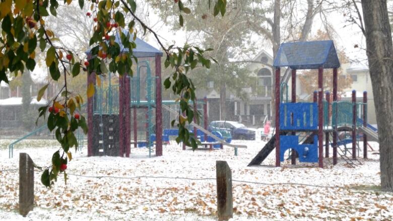
The early dose of winter that was in the forecast for Thursday is now more likely to hit Calgary and southern Alberta on Sunday, but Edmonton and points north could still get some flurries before then, Environment Canada says.
Calgary is expected to dip down to 3 C early Thursday gardeners, take note! and get up to a high of just 3 C with a 60 per cent chance of rain showers.
The low single digit highs will persist for the rest of the week as a cold front drops down from the Northwest Territories. By Sunday morning, there's a 60 per cent chance of flurries or rain.
But parts of central Alberta are still under a special weather statement that warns of somewhere between five and 15 centimetres of heavy, wet snow starting Tuesday night in higher terrain, particularly between Grande Prairie and Jasper.
Snowfall warnings are in effect for Hinton-Grand Cache, andGrande Prairie-Beaverlodge-Valleyview.
The snow isexpected to track east and south, getting as far south as Banff by Thursday, but accumulations there will be negligible, Environment Canada says.
- MORE CALGARY NEWS |Why overdose is the wrong word when it comes to cannabis
- MORE CALGARY NEWS |Calgary scientists find whaling ship remains sticking out of sand after 116 years
- Readmorearticles byCBCCalgary, like us onFacebookfor updates and subscribe to ourCBC Calgarynewsletterfor the day's news at a glance


_(720p).jpg)


 OFFICIAL HD MUSIC VIDEO.jpg)
.jpg)


