'Prolonged snowfall' on its way for much of southwestern Alberta
Environment Canada issued multiple snowfall warnings Wednesday, 15 to 25 cm expected by Saturday morning
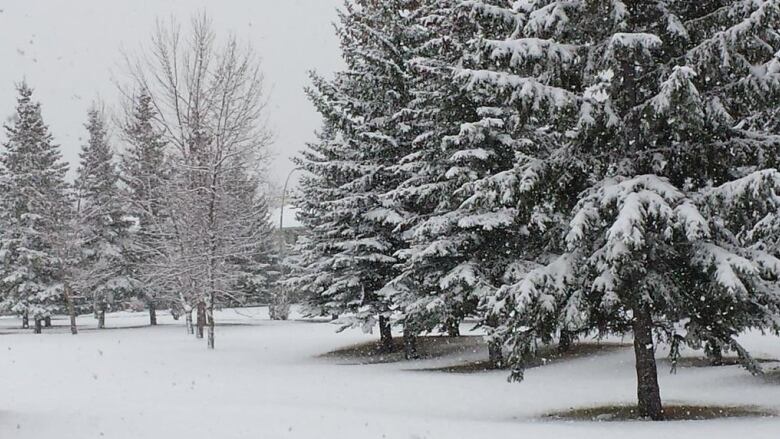
Winter has hitched a ride on aweather system on its way to Alberta and Environment Canada says up to 40 centimetres of snow could fall in portions of the Foothills before Saturday.
Snowfall warnings were issued for large parts of southwestern Alberta on Wednesday including areas in and around:
- Calgary.
- Airdrie, Cochrane, Olds and Sundre.
- Cardston, Fort Macleod and Magrath.
- CrowsnestPass, Pincher Creek and Waterton Lakes National Park.
- Hinton and Grand Cache.
- Kananaskis and Canmore.
- Nordegg.
- Okotoks, High River and Claresholm.
According to Environment Canada,a "slow-moving upper low" over southern British Columbia is expected to bring a prolonged snowfall to the Foothills and southwestern Alberta.
Heavy snow is expected to start falling Wednesday night and continue through Thursday into Friday, before tapering off Saturday morning.

"Total snowfall accumulations of 15 to 25 centimetres are expected by Saturday morning, with locally higher amounts, up to 40 centimetres, possible along portions of the Foothills," says Environment Canada's weather alert.
Environment Canada said portions ofthe Kananaskis and Crowsnest Pass regions already saw 10 centimetres of snow overnight Tuesday.
"These areas are expected to see an improvement in conditions Wednesday during the day with heavy snow set to begin again Wednesday evening."
Environment Canada said it's keeping an eye on the approaching storm and may adjust its forecasts.
"Snowfall warnings may need to be expanded east later this week as the system develops," the agency said.


_(720p).jpg)


 OFFICIAL HD MUSIC VIDEO.jpg)
.jpg)


