Here's what you can expect as deep freeze, extreme weather grip much of Canada
Parts of Maritimes, Western Canada, Quebec in deep freeze, Ontario braces for more stormy weather
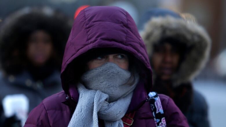
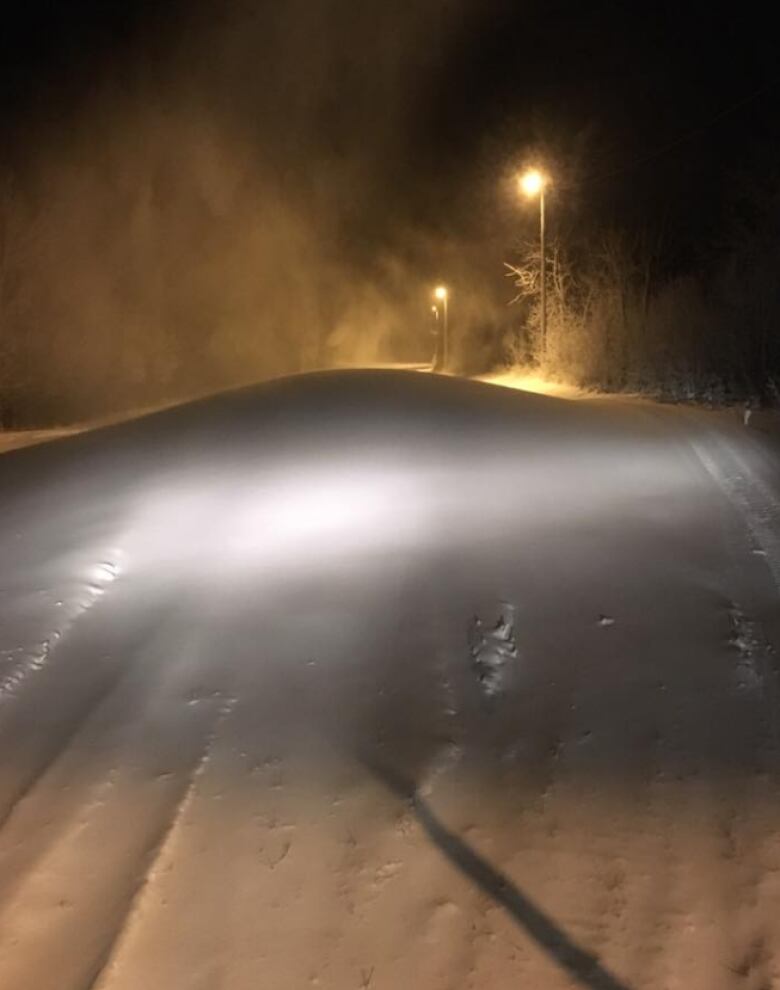
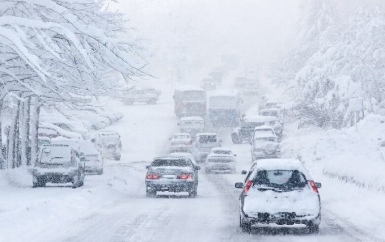
Extreme winter weather is hitting much of Canada, with bitter cold, heavy snowfall and gusting winds causing many closures and scary driving conditions as well as some power outages, and more stormy conditions are expected.
The Maritimes and Western Canada are in deep freezes, withbiting temperatures in other parts of the country. Stilldiggingits way out of a storm last night, Toronto as well as other parts of Ontario,and areas ofB.C. are bracing for storms to hit over the next 24 hours.

In the East, Environment Canada has issued an extreme cold warning for New Brunswick.
- Storm Centre New Brunswick: Follow the latest storm-related closures and cancellations
- Storm Centre P.E.I.: Follow the latest storm-related closures and cancellations
- Storm Centre Nova Scotia: Follow the latest storm-related closures and cancellations
"A period of very cold wind chills is expected. Northwestern regions of New Brunswick should once again experience wind chill values near 35 C tonight and early Saturday morning,"says Environment Canada.
NB Power'sonline outage map shows383 customers without electricityat 6 p.m.AT, down from over 1,000 Friday morning.
Highway officials are warning drivers about getting on the roads due to the harsh winds.
Felicia Murphy ofBrun-Way Operations, which oversees the Trans-Canada Highway from Longs Creek to the Quebec border, said there are partially covered roads and some icy patches.
In Prince Edward Island, Environment Canada has issuedwind and snow squall warnings.
Road conditions on the island arecausing problems. Snow drifts are moving in as quickly as they'rebeing cleared, according to Transportation and Public Works.
As of 5 p.m. AT, Maritime Electric said 600 customers were without power, with the largest outages in Belle River and Morell. The utility said it expects power to be restored by midnight.
Some in N.S. without power

Blowing snow and wind-chillvalues in excess of31 C in Nova Scotia have cancelled many flights and ferries, and left thousands of people without power.
Nova Scotia Power's online outage map showed3,779 customerswithout electricityat 6 p.m.AT.Four school districts in New Brunswick have closed schools for the day. All P.E.I. public schoolsand most schools in Nova Scotia are also shut because of the cold temperatures.
Not going anywhere today. @CBCNS @kalinCBC pic.twitter.com/uUEwPFYzRp
—@citylimitstableSnow squall, storm surgewarning inQuebec
Snow squall and storm surge warnings are in effect throughout much of southern Quebec while blizzard and wind warnings have been issued in the north.
A special weather statement is also in effectand around both Quebec City and Montreal for the weekend, where snow is expected toturn into freezing rain and ice pellets on Saturday.
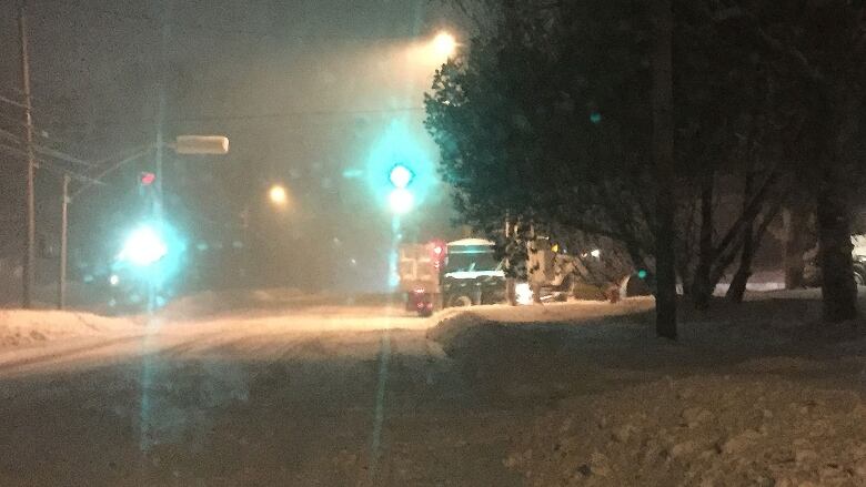
'Significant' snowfall expected in Toronto
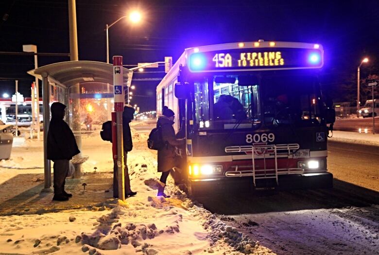
After a nightmarish night of heavy snow and wind, Torontonians can also expect a brief respite starting with amix of sun and clouds before more snow arrives Friday night.
A Colorado low will bring milder air to southern Ontario on Saturday, causing the snow to change over to rain and then back to snow on Saturday night as the colder air returns.
A special weather statement for Toronto is in effect in anticipation of a "significant snowfall" of five to 10 centimetres beginning Friday night and into Saturday. Some areas may receive even more than 10 centimetres, Environment Canada says.
An extreme cold weather alert issued Wednesday also remains in effect Friday evening.The temperature as of 5 p.m. ETwas at 6C, feeling like 9C with the wind chill.
Winter storm watch in effect for Ottawa
Ottawa sawevening temperaturesof 17C(feeling like 24 C with the wind chill) and more snowfall is expected overnightwith a threat of freezing rain over the weekend.
Deteriorating winter travel conditions can be expected as precipitation develops Friday nightand Saturday.
Chilling temperatures across Prairies
Winnipeg and Reginaand southern Alberta areunder extreme cold alerts.
"Extreme windchill values of40 C are expected to develop overnight as another shot of cold arctic air invades southern Manitoba from the north," Environment Canada says.
In Regina, evening westerly winds of 10 to 15 kilometres per hour will bring stingingtemperaturesof between 38 C and 34 C, but those should climb to the mid-20s onSaturday.
In southern Alberta, temperatures will reach40 C overnight and into Saturday morning.
Storm on the way for parts of B.C.
Environment Canada has issued a special weather statement for Metro Vancouver and Vancouver Island, as a new Pacific front is expected to hit on Saturday night.
- New weather statement issued for B.C.'s South Coast
- Coroners Service says 3 deaths in B.C. linked to cold
"It's basically been two weeks of arctic air," says CBC meteorologistJohanna Wagstaffe. "Pacific air will be moving in this weekend,but as the moisture is in the cold air, it will start off as snow."
That could mean anywhere from fiveto 25 centimetres of snow from Saturday to Sunday, depending on the exact region similar tolast weekend's storm.
Territories' chilling temperatures
Iqaluitcan expect blowing snow with visibility of less than two kilometres at times throughout the evening and after midnight. Northwestern winds of 40 km/h will reach 70 km/h. Temperatures will hit a low of 21 C (feeling like 38 C with the wind chill).
Yellowknife has also entered a deep freeze. It was 35C there by late afternoon, with very little wind, though it's expected to warm up to a high of 32 C on Saturday.
In Whitehorse, evening southern winds will hit 20 km/h, with temperaturesreaching24C (a wind chill making it feel like37C).

With files from Sheena Goodyear


_(720p).jpg)


 OFFICIAL HD MUSIC VIDEO.jpg)
.jpg)


