Satellite images could allow homeowners to check on homes during the next big flood
Photos from space give a new perspective on floodwaters
An eye in the sky could give homeowners a better view ofdamage during the next flood event.
Researchers at the University of New Brunswickwantsatelliteimages of properties cut off by flood waters to beavailableduring the nextdisasterinstead of after.
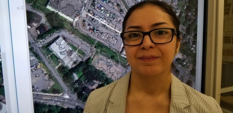
"I started thinking about the buildings that are affected that areremote and nobody is evenaware of," saidShabnamJabari, apost-doctoralresearchfellowin geomatics.
"SoI thought, 'I knowsatelliteimages can show them, why don't I go and check?'"
- 3D images of Nepal to help earthquake relief efforts
- UNB researchers mapping traffic behaviour using satellite
Jabariwas able to obtainsatelliteimages of the recordhigh flood waters at their peak two days after they were taken from a privatesatelliteimageprovider. Some of thepubliclyavailablesources can take up to 16 days to regenerate images, according to Jabari.
"I wasconstantlychecking," said Jabari. "And the moment they put the images there I downloaded them and I was started working on them. And I ended upgettingtheflood map of Fredericton."
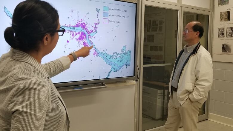
By overlaying "before and during" images,Jabari has been able to map the swell of the riverand indicate which structures were in flood areas.

But not content with just data sent from space, she double checked much of the mapping visiting areas listed as flooded in the imagery and taking photos of her own.
"I cross-checked my results and I got pretty high accuracy," saidJabari.
Array of applications

Canada Research Chair in geomaticsYunZhangsaidthe hopeis to streamline the process so the next time there is a serious floodthose images will beavailablequickly.
"At thistime, we're just using it for research applicationsandweprovedthat we can dothat,"saidZhang.
"But indeed, this data can be used for many applications."
The maps Zhang and Jabari have built could be usefulforinsurancepurposes, as well asinformingthose lookingto buy homesin areasat risk of waterdamage in thefuture.


_(720p).jpg)


 OFFICIAL HD MUSIC VIDEO.jpg)
.jpg)


