Flooding forces people to evacuate from cabins near Inuvik, N.W.T.
In Inuvik, the water levels are the highest weve seen them
Multiple people areevacuatingfrom their cabins near Inuvik, N.W.T., due to flooding.
"In Inuvik, the water levels are the highest we've seen them," said Dustin Whalen, a physical scientist with Natural Resources Canada.
"Right now, they're pretty much levelled off and I expect that they're going to start dropping really soon."
Never seen the boat launch this flooded in Inuvik before. Here is a photo. Arctic Petroleum also posted that road to their tank farm and the GNWT marine facility is completely under water. The aerial photo was taken by a friend, and shows what it looks like from the air. pic.twitter.com/qEOlBpaHW3
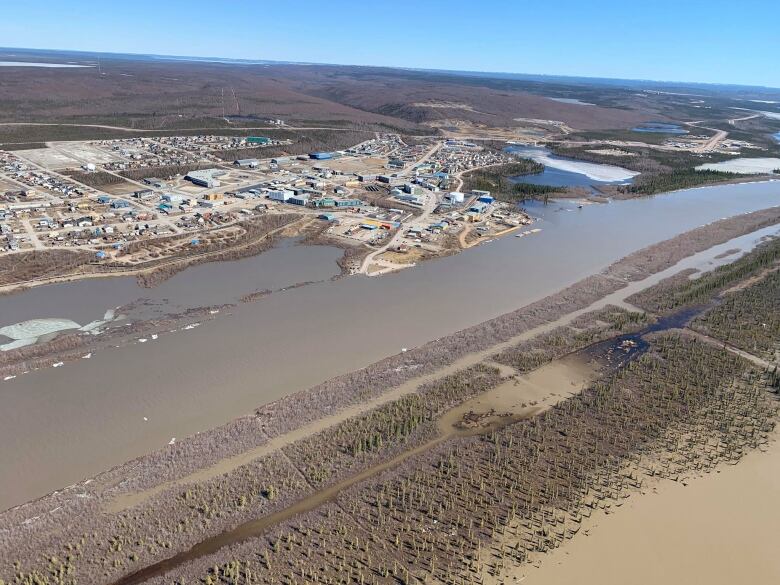
—@MackenzieLScottThere is currently no road traffic into Inuvik, located 200 kilometres north of the Arctic Circle.
Grant Hood, senior administrative officer for the Town of Inuvik, said officials are monitoring the situation. He said the cabins are located outside of the town's boundaries.
"It's an annual occurrence. That's all we can do," he said.
Photos show roads near the Mackenzie River partially flooded and the town's boat launch submergedin water.
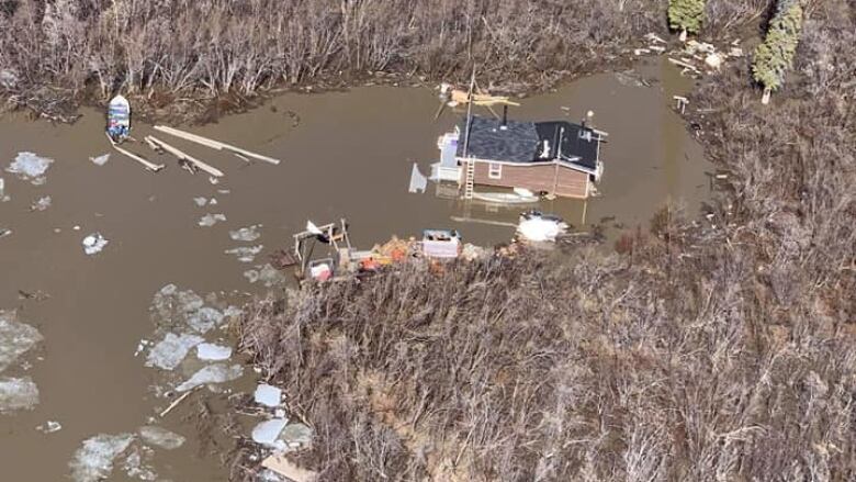
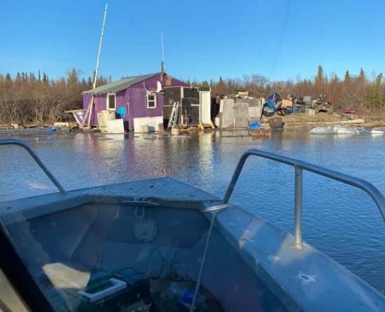
Dianne Koe and her partner were evacuated from their cabin by helicopter Saturday afternoon.
A day later, she was sent photos of her cabin.
"We could see the water coming over the bank," she said."It was a shock to see."
About a week ago, Koe said she noticed water levels were rising.She said she had been in daily contact with people in other cabins to check on the conditions.
"We had high water but not this high," she said.
Jimmy Kalinekand his family had been at their cabin at the north end of the KalinekChannelfor two and half months, until they had to leave onSaturday.
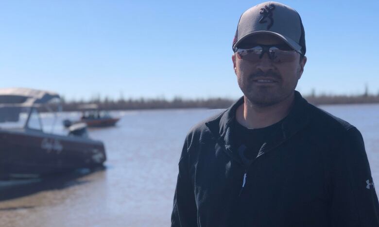
"Potential of flooding was there, so we were prepared for it," he said."But it just happened really quick. Within the hour, we were out of the house."
Kalineklater went back to his cabin about an hour's boat ride from Inuvik to assess the damage and "hope for the best."
He saidwhen he arrived, there was no water damage.
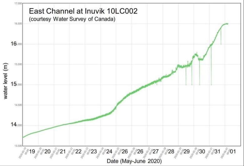
Data from Water Survey of Canada showed water levels in the Mackenzie River's East Channel reached 16.5 metres by June 1. The previous high was 16.35 metres in 2006, according toWhalen.
With files from Mackenzie Scott and Wanda McLeod


_(720p).jpg)


 OFFICIAL HD MUSIC VIDEO.jpg)
.jpg)


