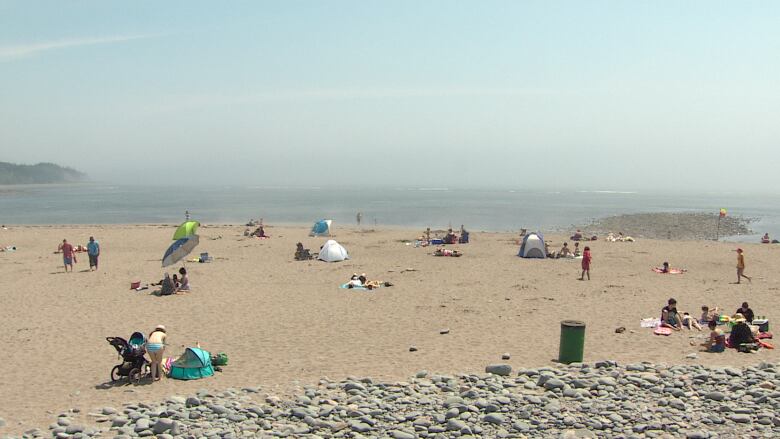
Nova Scotia's hot, dry weather predicted to continue through summer
Yarmouth had driest June and July on record
We're two-thirds of the way through the meteorological summer defined as June, July and August so let's see how this summer has stacked up and how the weather might play out over the next month or two.
Where we've been
Hot and dry! After a brief period of cool, gloomy weather at the start of June, temperatures rebounded big time for the rest of that month and July.
Several weather observations sites in the province say most locations are either on the 30-year climate normal for mean temperatures through June and July or up to a degree warmer than normal.
What has been more of a standout is the dry conditions for much of Nova Scotia so far this summer:
- Yarmouth: 66.8 mm of the climate normal of 183.2 mm, or 37 per cent of the normal.
- Greenwood: 99.6 mm of the climate normal of 164.2 mm, or 61 per cent of the normal.
- Halifax: 145.9 mm of the climate normal of 191.7 mm, or 76 per cent of the normal.
- Sydney: 178.6 mm of the climate normal of 185.4 mm, or 96 per cent of the normal.
The southwest of the province, in particular, has missed out on rain.

Yarmouth had the driest June and July I could find on record, going back to 1880. For Greenwood, this year ranks 14th driest in records that stretch back to 1943.
Where we're headed
Long range ensembles meaning a series of computer models run together give a median rainfall through Aug. 17 as:
- Yarmouth: 39.1 mm.
- Greenwood: 36.4 mm.
- Halifax: 34.4 mm.
- Sydney: 50.1 mm.
That means, with the exception of Sydney, we're on track to be below the normal amount of rainfall for August.
Keep in mind, though, that precipitation is one of the hardest things for computer models to forecast and deviations from those median predictions are almost a certainty. That's especially true given the nature of summer rainfall, which often includes heavier local downpours in thunderstorms.
August through October
Environment Canada runs a series of climate forecast models in an attempt to predict the general conditions expected one to three months in advance.
The latest run of these models covers August through October. The prediction is for above normal temperatures across the province.
For precipitation, the prediction is for near-normal amounts with the exception of areas of the South Shore, which are predicted to be above normal.
More on the seasonal forecast produced by Environment Canada can be found here.


_(720p).jpg)


 OFFICIAL HD MUSIC VIDEO.jpg)
.jpg)


