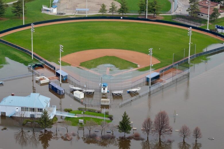
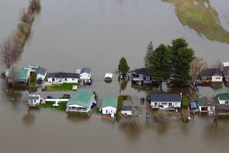
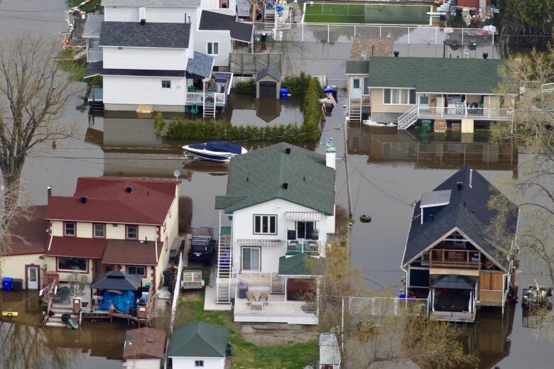
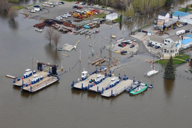
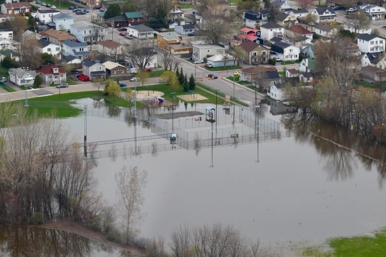
Aerial view of west Quebec flooding shows extent of deluge
In west Quebec, rising flood water is turning streets into canals and forcing people from their homes. These images show just how dire the situation has become.
Flood water turning streets into canals as evacuation continues

People in west Quebec continue to abandon their homesas rising flood water threatens entireneighbourhoods.The CBC's Ashley Burke got an aerial view of the devastation from a helicopter Thursday morning, and her photos reveal the full extent of the threat.
- Flooding: What to do if it happens to you
- Gatineau flooding 'tip of the iceberg,' climate scientist warns
- Flooding in the Outaouais: Wednesday in pictures
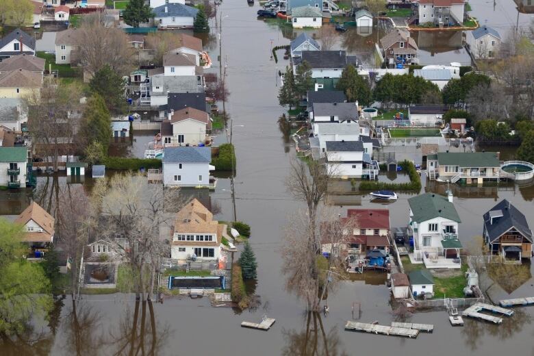

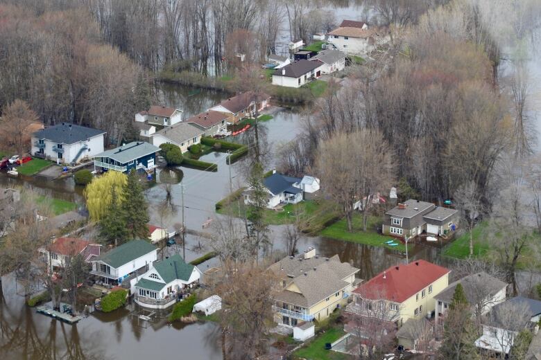
Streets have turned into canals on Rue Saint-Louis in Gatineau. Homes surrounded by water. This is the bird's eye view #ottnews pic.twitter.com/6lSkJUAb0N
—@AshleyBurkeCBC


_(720p).jpg)


 OFFICIAL HD MUSIC VIDEO.jpg)
.jpg)


