Ottawa River finally peaks in capital region
Flood levels should go no higher and in many areas will start to slowly recede
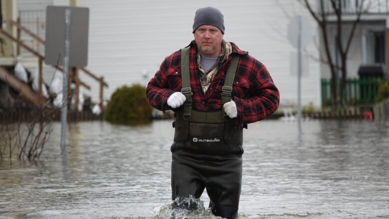
After weeksof rising waters, the Ottawa River has finally peaked across the capital region.
The latest forecast from the Ottawa River Regulation and Planning Board predicts the levels will go no higher and in many areas, will start to decline.
"It's good news, really. We have received a lot less precipitation over the last couple of days than was forecast," said Michael Sarich, the board's senior engineer, late Thursday afternoon.
"The river has stabilized and is even slightly declining."
The agency is forecasting river levels have hit their peak in Arnprior, in the Ottawa neighbourhood of Britannia, at the Hull Marina in Gatineau, Que., in Thurso, Que., and in Hawkesbury, Ont.
There are still predictionsof higher levels northwest of Ottawain Pembroke, Ont.
Still 'uncomfortably high'
While the levels appear to have peaked, Sarich said it will still take some time for them to begin receding significantly, primarily because there's still a lot of unmelted snow along the river's northern stretches.
"We are going to be uncomfortably high for the next couple ofweeks at least," he said.
"We are still measuring snow pack in multiple metres in some locations, so there is still a lot of water to come."
In most cases, the river either broke or came close to exceeding the levels seen during the devastating 2017 floods.
By the numbers
The board saidat 5 p.m. Thursdaythe water level in Pembroke was at 113.17metres above sea level, down acentimetrefrom Wednesday morning.
They expect it could rise another 43centimetresto a peakof 113.6metres on Monday two days later and 20 centimetres higher than predicted Wednesdaymorning.
Lac Coulongeis at 108.84metres, down 14 centimetres from Wednesday morning. The river reached its peak there on Tuesday at 109.05metres and isreceding, although it could bounce back to that peak again in the middle of nextweek.
Arnprior is at 76.14metres, down 12centimetres from Wednesdaymorning. The riverreached its peak there on Tuesday at76.31metres and is now receding.
Britanniain west Ottawa is at 60.63metres. It reached its peak of 60.70 metres Thursday, well above the 60.44 metres it reached in 2017.
The Hull Marina in Gatineau is at 45.11metres. It reached a peak of 45.18 metres, just two centimetres shy of its peakin 2017.
Thurso, Que., is at43.62metres. It reached a peak on Thursday of 43.67 metres, just two centimetres below the levelit hit in 2017.
And Hawkesbury, Ont.,is at42.72metres. Itreached its peak Thursdayat 42.76 metres and did not reach the 2017 flood level of 42.81 metres.
Can't see the infographicsabove? Click here for this year's forecasted river level peaks,and click here to see how much higher water levels are expected to be this year than in 2017.
The next update is expected at 9a.m. Thursday.
All forecasts are approximateand subject to change based on the weather and other factors.
All records are based on data from the planning board, which goes back as far as the 1930s in some areas.


_(720p).jpg)


 OFFICIAL HD MUSIC VIDEO.jpg)
.jpg)


