More snow coming after overnight storm
Snow, snow pellets, freezing rain, rain predicted for early Wednesday
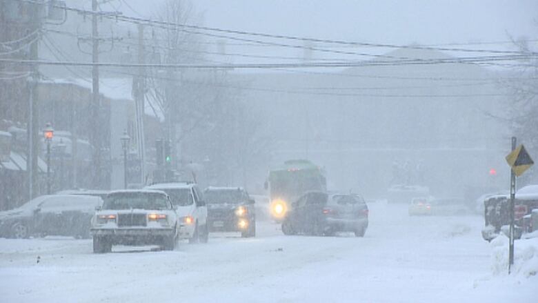
After a morning of just about every possible type of precipitation Wednesday Prince Edward Islanders can look forward to a potential blizzard on Thursday.
Tuesday is going to be very cold. The temperature at sunrise was -17 C with a wind chill of -26 C at Charlottetown Airport. CBC meteorologist Brennan Allen does not expect it to warm up much from there, expecting a high of just -15 C.
That temperature will drop again to -18 C a little before midnight before rapid warming begins with the coming storm.
The snow will start about 2 a.m., and run through a gamut of precipitation types.
- Snow for four to six hours.
- Ice pellets for two hours.
- Freezing rain for two hours.
- Rain tapering to showers.
The mix of precipitation will create difficult conditions, said Allen.
"The snow and ice pellets will be hard to move with this dense type of mix of ice and snow usually makes roads quite miserable," he said.
Total snow and ice pellet amounts are expected to be about 10 centimetres, followed by about five millimetres of rain.
More coming Thursday
The temperature will reach 5 C, but only remain above freezing for about six hours, falling to -11 C again overnight.
Hmm... getting nervous how Feb is shaping up. Wintry weather tonight-Wed am will make messy driving. Another storm late Thurs?? Again Mon?? pic.twitter.com/Gzb0r3igZM
—@YHZweatherguyThursday night could bring more snow. While the track of the storm is still difficult to predict, Allen said the storm could drop 20 to 30 centimetres of snow, and he predicts strong winds to come with that storm.
With files from Island Morning


_(720p).jpg)


 OFFICIAL HD MUSIC VIDEO.jpg)
.jpg)


