Sudbury pedestrian collision map highlights hot-spots for 'accidents'
Sudbury walkability advocates want people to speak up about making pedestrian safety a priority
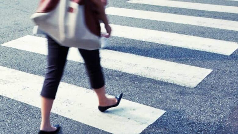
A Sudbury man concerned about making Greater Sudbury a safe place in which to walkhas compiled a Google map that details pedestrian collisions between 2009-2014.
Matt Alexander saidhe put the map together because he started to notice "really risky behavior from pedestrians, like standing in the centre turning lane of The Kingsway, waiting to finish crossing from a bus stop to McDonalds for work."

"So I wondered, how often do people get hit there? How many people die? Finding that information turned out to be pretty difficult," Alexander told CBC News in an email.
"If you go to the pedestrian safety page of the Sudbury Police website, the information is from 2010. If you search through the police board annual reports, it rarely mentioned pedestrian collisions or deaths."
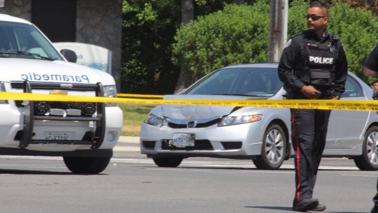
The map relies mostly on local media coverage of pedestrian collisions from 2009 to the end of 2014. Alexander said his map shows Greater Sudbury averages about 73 pedestrian collisions a year, and has an average of 2.3 pedestrian deaths every year.
"Once you put those on a map you start to notice patterns," he continued."And once you identify patterns you can start to come up with solutions."
Alexanderadded that city council passed a resolution in 2007 to become the most pedestrian-friendly city in Ontario by 2015, but,"based on the data I've seen, there's been no improvement in pedestrian safety since then."
The map only shows a sliver of the actual number of people who have been hit in any given year, Alexander pointed out.
Draft transportation master plan lacking
In light of his map's findings, Alexander said he's surprised Greater Sudbury's new draft transportation master plan doesn't include any information related to areas or roads where pedestrians are most atrisk. The plan also doesn't include recommendations for road improvements to reduce pedestrian collisions.
"The plan does talk about education campaigns, but everyone already knows they could be killed if they step out in front of a vehicle and the blame is almost evenly split between walkers and drivers," Alexander said.
"The city has a responsibility to identify the areas where people want to cross the street and make it safe for them to do so."
With the city in the process of finalizing the transportation master plan, Alexander said the opportunity exists "to lay the ground rules for road improvements that will reduce the number and severity of pedestrian collisions and encourage more people to walk for short trips. Other cities have done it. It doesn't have to be expensive."

"This type of information is one way to see which areas have conditions that are more dangerous for pedestrians, and to draw attention to the issue of the importance of being able to walk safely."
While the collisions are often framed as accidents, there are road conditions and other conditions that can make these collisions more or less likely, Grant added.
"That's something we should pay attention to. With the City seeking input on the draft Transportation Study it is especially timely to be thinking about all the implications of the way we design ourtransportation network, including for pedestrian safety."
Alexander is slated to speak at the Transportation Master Plan public information centre onJune 24 at 7 p.m.at Tom Davies Square.


_(720p).jpg)


 OFFICIAL HD MUSIC VIDEO.jpg)
.jpg)


