'Intense' snowfall created dangerous driving conditions Thursday
Snow squalls and whiteouts hit during rush hour, tapering off by 7 p.m.
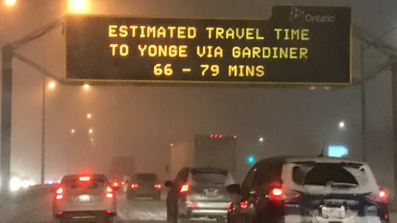
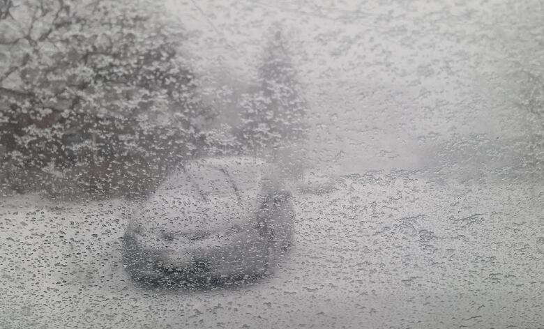
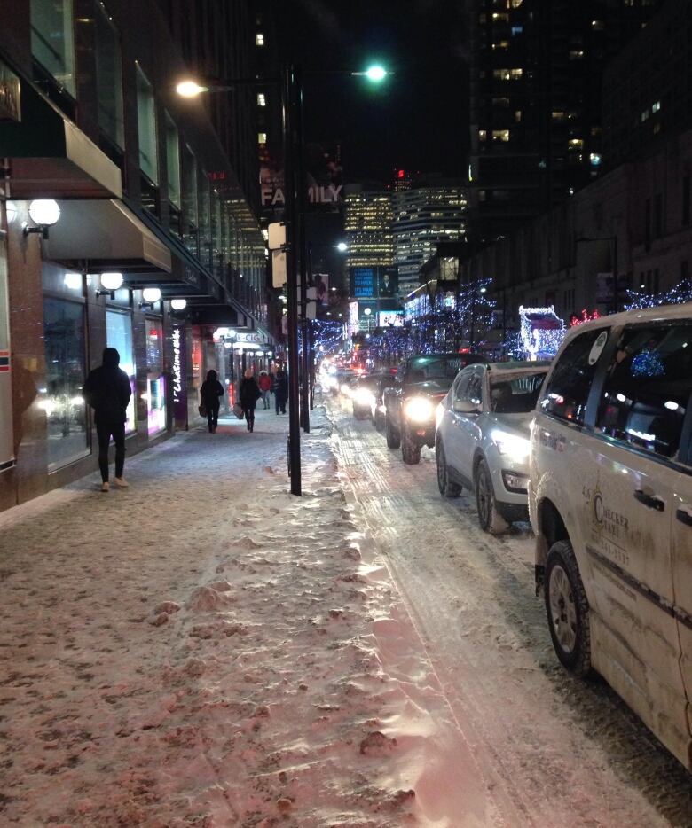
High winds and whiteoutscreated standstill traffic on the roads and highways around the Greater Toronto Area Thursday night as "an intense band of snow" pelted the city and surrounding suburbs.
EnvironmentCanada issued a winter travel advisory for Toronto, forecasting a quick snowfall of fiveto 10 centimetres.
The weather service proved correct about the speedy snowstorm; the snow tapered off by 7 p.m.
The worst of the weather happened in the middle of rush-hour traffic. Toronto police reported seven collisions around the city by 5 p.m., while blowing snow blanketed those on foot or on skis.
Some guy skies along Eglinton Ave W. during the #snow in #Toronto. #snowTO #snowstorm pic.twitter.com/YiEpijsOae
—@GlenfordCanningMeanwhile in #Canada, life goes on... #Toronto #snow #whiteout #winter #WinterIsHere #snowday #snowgram pic.twitter.com/MVveBNAs2X
—@BinLatheefThe messiest roads in the city around rush hour were in both the north and east ends, CBC TorontometeorologistJay Scotland tweeted.
As the evening continued, the snow squalls moved south and batteredPeel Region.
Snow squall warnings also covered parts of York and Durham, as well as Barrie and parts of cottage country.
"Snow squalls cause weather conditions to vary considerably; changes from clear skies to heavy snow within just a few kilometres are common," the warnings said.
Meanwhile, a special weather statement warnsofa potential mix of precipitation on Friday evening and into Saturday across much of southern Ontario.
The statement warns that a "large system from the southwestern United States will spread snow across Southern Ontario Friday night."
Such systems typically drop between 15 and 20 cm of snow, "and this one appears to be no exception," the statement reads.
Conditions are expected to improve on Sunday.
The statement comes as Toronto remains under an extreme cold weather alert.
The overnight low is forecast to be -13 C.Temperatures will rise a bit as the precipitation moves in on Friday, when the forecast high is -5 C.
With files from Andrea Janus and Laura Fraser


_(720p).jpg)


 OFFICIAL HD MUSIC VIDEO.jpg)
.jpg)


