'Blame Siberia,' says climatologist, as Windsor hits record lows
Windsor broke cold-weather records on New Year's Eve and New Year's Day
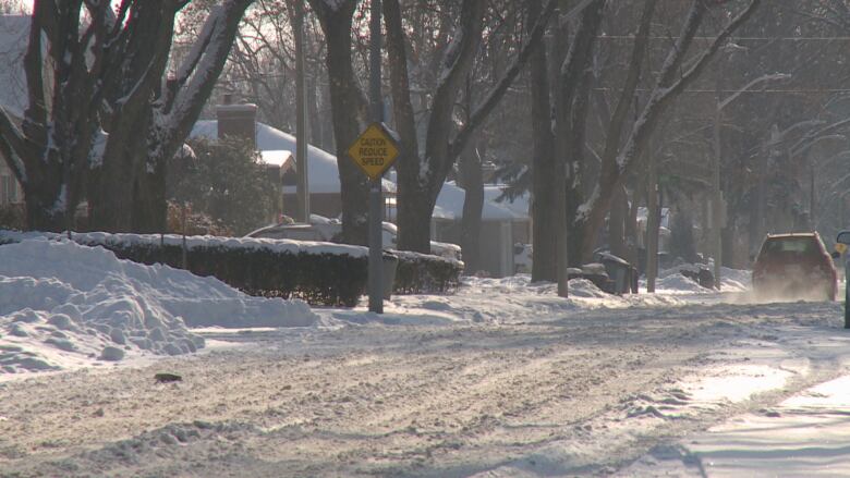
Windsor-Essex started the new year off with a blast of cold air.
The region broke a cold-weather recordon New Year's Eve, with a low of20.1 Cbeating the 1976 record of19.4 Cand againon New Year's Day with a low of21.1beating the 1969 record of20 C.
On Tuesday the cityis expected to hit a high of 12 C, which could be the coldest afternoon of winter, according to Dave Phillips, a senior climatologist at Environment Canada.
"That's about 11 degrees colder than it should be," saidPhillips. "So I mean it's just absolutely bone-chilling cold. We're seeing it across the country."
Why so cold?
This winter's cold spell actually came to us from Siberia, said Phillips.
Cold air pooled up in that region, and as the jet stream across North America relaxed, that Siberian cold air came right over the top of the world and flooded throughCanada right down to Texas.
There's not been any major kind of storms coming from Texas or Oklahoma which kind of would kickthe cold out,-Dave Phillips, senior climatologist, Environment Canada.
And it's thick.
"It's the densest air that nature can produce. It hugs the ground like molasses," said Phillips. "And it's hard to kick it out. It's not a oneor two-day wonder."
Phillips said that incoming weather systems could push that cold air away, but there hasn't been any.
"There's not been any major kind of storms coming from Texas or Oklahoma which kind of would kickthe cold out," he said.
Another frigid week
The region won't get much relief this week.
"Really this week we might see the coldest of winter," said Phillips.
On Thursday, a fresh surge of cold air will bring temperatures down to a high of 13 C said Phillips.
But there is hope.
Hear more from Phillips on CBC's Windsor Morning.
When will it end?
Although the year has started off more frigid than normal,mid-January to mid-Februaryis expected to be a little warmer than normal in southern Ontario, said Phillips.
"You've always had a January thaw in Windsor and I don't think this year will be an exception," he said.
Phillips said melting temperatures are expected for Monday.
"I think it's safe to say the front end of winter may be the toughest part of winter so far."


_(720p).jpg)


 OFFICIAL HD MUSIC VIDEO.jpg)
.jpg)


