Potential flooding issues have conservation authorities, city worried
'The reason that we are threatened is that it will take a breath of wind to bring the lakes in on us.'
The Essex Region Conservation Authority has issued a long-term flood watch.
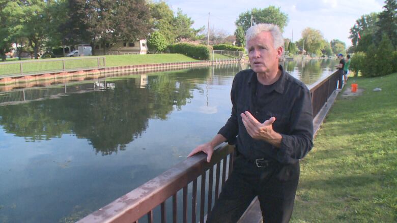
The watch is due to elevated lake levels in Lake Erie, Lake St. Clair, and other lakes in the Great Lakes and St. Lawrence River system. Tim Byrne, the director of watershed management service for the Essex Region Conservation Authority said today's levels are significantly higher than they were last year. He said don't be fooled by the pleasant weather this week.
"It would be nice if we have this type of calm wind and sunny day from now on in, but any change in weather could cause the lake to be brought on shore," Byrne said.
If the lake comes on shore, the extent to how far it will spread will now be broader and deeper than have been historically planned for because our starting point is that much higher. Water levels are anywhere between 200 and 300 mm above last year's levels.
"Just after New Year's Eve we received 60 mm of precipitation, that amount of precipitation basically was more than we would typically receive for an entire January for water equivalency in snowfall or rainfall," he said.
That event causeda dramatic jump in lake levels. As the year goes on, July and August tend to be where peak water levels are recorded.
"Well today we areat where we were in May of last year. So we're going to see levels likely exceed last year's levels by a significant amount," Byrne said.
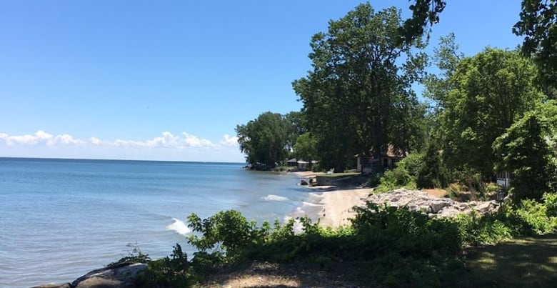
The potential high water levels mean serious issues for the shorelines on Lake Erie and Lake St. Clair. He said low lying areas like Pelee Island, southeast Leamington shoreline, Cedar Island, and Cedar Creek shorelines are in danger.
"The reason that we are threatened is that it will take a breath of wind to bring the lakes in on us," said Byrne.
Last weekend Pelee Island Drive was flooded. He said there was a significant rainfall, but the winds were fairly light. Normally flooding would occur if there was very significant wind for a long duration of time.
"As it stands today with the level being as high as it is today, it doesn't take a lot of wind to create a setup and push it on shore," Byrne said.
The City of Windsor and all county municipalities have been actively updating their emergency response plans.
"We most recently had further discussions with county personal to give consideration to deploying county equipment to assist municipalities should we see an event of a magnitude that we are unfortunately forecasting we could get," said Byrne.
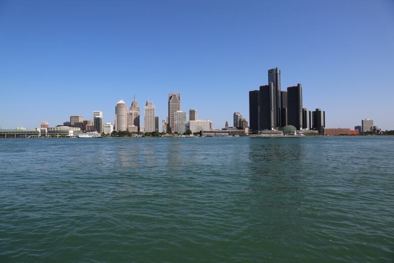
Windsor imposes 30 metre ban on Detroit River
The City of Windsor is once again temporarily creating a 30-day buffer zone of 30 metres along the Windsor shoreline of the Detroit River.
All motorized watercrafts are not tooperate within30 metres of the shore unless it's docking.
TheWindsor Port Authority issued the banat the request of the City of Windsor.
The ban was in place during last year's high water levels as well.
Lower Thames Valley Conservation Authority standing April message
The Lower Thames Valley Conservation Authority sent out a press releasing saying the area is also at risk of shoreline flooding on both lakes as well as erosion and damage to shoreline protection work.

Jason Wintermute, the manager of watershed and information services for LTVCA writes the difference between the current water levels and peak water levels last year are not significant. He said the current risk of flooding and shoreline damage are essentially the same as they were last year during the peak water level summer months.
He recommend that those living along the shoreline pay attention to local conditions and to prepare accordingly.
Wintermute said this is a standing message for the month of April, but he will upgrade the message should weather forecasts suggest a sustained wind event which could cause shoreline issues.
Funding for Pelee Island shoreline
The province is providing the Township of Pelee upto $104,201.82 in financial support. Rick Nicholls, MPP for Chatham-Kent-Leamington said its to help with recovery efforts related to the flooding that happened in the spring of 2019.
Funds will be directed toward shoreline repair. It's provided through Ontario's Municipal Disaster Recovery Assistance program, which helps municipalities recover costs after a natural disaster.
The government also launched another pilot project, called one million dollar Build Back Better, where communities can get up to 15 per cent above the estimated cost of rebuilding damaged infrastructure. The press release said $14,757 of the total provincial funding being provided is going toward reinforcing shorelines infrastructure.


_(720p).jpg)


 OFFICIAL HD MUSIC VIDEO.jpg)
.jpg)


