Hurricane forecasters predict more Atlantic storms
An Atlantic hurricane season that got an early start is likely to stay busy and may produce a few more storms than originally predicted, U.S. forecasters say.
The updated forecast for the season that runs from June 1 to Nov. 30 says there are duelling weather conditions that could also tamp down activity later in the six-month stretch.
A total of 12 to 17 tropical storms were expected to form through the season overall, with as many as five to eight hurricanes, forecasters said. Two to three of those could become major hurricanes, which have top winds of 178 km/h or higher.
So far this year there have been four tropical storms and two hurricanes. One of those Ernesto made landfall late Tuesday as a Category 1 hurricane on Mexico's Caribbean coast near its border with Belize.
In May, forecasters had predicted nine to 15 tropical storms, with four to eight strengthening into hurricanes.
A normal Atlantic season produces 12 named storms, six hurricanes and three major hurricanes, based on a 30-year average, NOAA said. The 2011 hurricane season, one of the busiest on record with 19 named storms, produced Irene, one of the costliest storms in U.S. history.
El Nino could have moderating effect
Forecasters said warmer-than-normal sea surface temperatures and wind patterns that favour storm formation mean chances are higher for an above-normal season, while the expected development of the El Nino pattern over the Pacific may suppress storms later in the season's peak period.
The storm-feeding atmospheric and marine conditions are linked to an ongoing period that began in 1995 of high activity for Atlantic hurricanes, said Gerry Bell, the lead seasonal forecaster at NOAA's Climate Prediction Center.
Early-season activity in the deep tropics off Africa's coast, which produced Ernesto and tropical storm Florence early this month, also generally indicates a more active season, Bell said.
"Conditions are more conducive right now, but we expect them to become less favourable if El Nino develops as expected," Bell said.
The weather phenomenon known as El Nino, which is expected to form this month or in September, warms Pacific waters near the equator and increases wind shear over the Atlantic, tearing storms apart. The peak of the Atlantic hurricane season runs from August through October.
"In May, we were uncertain about El Nino's development and impact. Now we have a high confidence that El Nino will develop this month or next, but also that its influence will be delayed until later in the season," Bell said.
The Atlantic hurricane season got off to an earlier-than-official start this year when tropical storm Alberto formed May 19 off the South Carolina coast.
Forecasters name tropical storms when their top winds reach 63 km/h; hurricanes have winds of at least 119 km/h.
No major hurricane has made a U.S. landfall in the last six years, since Hurricane Wilma cut across Florida in 2005. This August marks the 20th anniversary of Hurricane Andrew's catastrophic landfall in South Florida as a Category 5 storm.
Laura Furgione, acting director of NOAA's National Weather Service, warned U.S. coastal residents not to be complacent about the risks of a hurricane striking their homes. Andrew was the first storm of a slow season that produced just six storms.
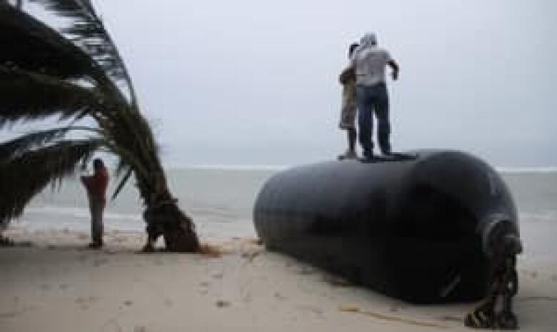
Ernesto weakened to a tropical storm as it drenched the Yucatan Peninsula, where it caused little damage. The storm spun into the southern Gulf of Mexico, crossing waters dotted with oil rigs operated by Mexico's state oil company, and was expected Thursday to bring torrential rains and flooding to Veracruz state's lush Los Tuxtlas region.


_(720p).jpg)


 OFFICIAL HD MUSIC VIDEO.jpg)
.jpg)


