WINTER ARRIVES IN NL!
November 26, 2012 2:06 PM
What a Weekend in Western Labrador!
The Snow started with 8 cm on Friday night... followed by 16 cm on Saturday... and then 27 cm on Sunday... for a total of 51 cm!!!
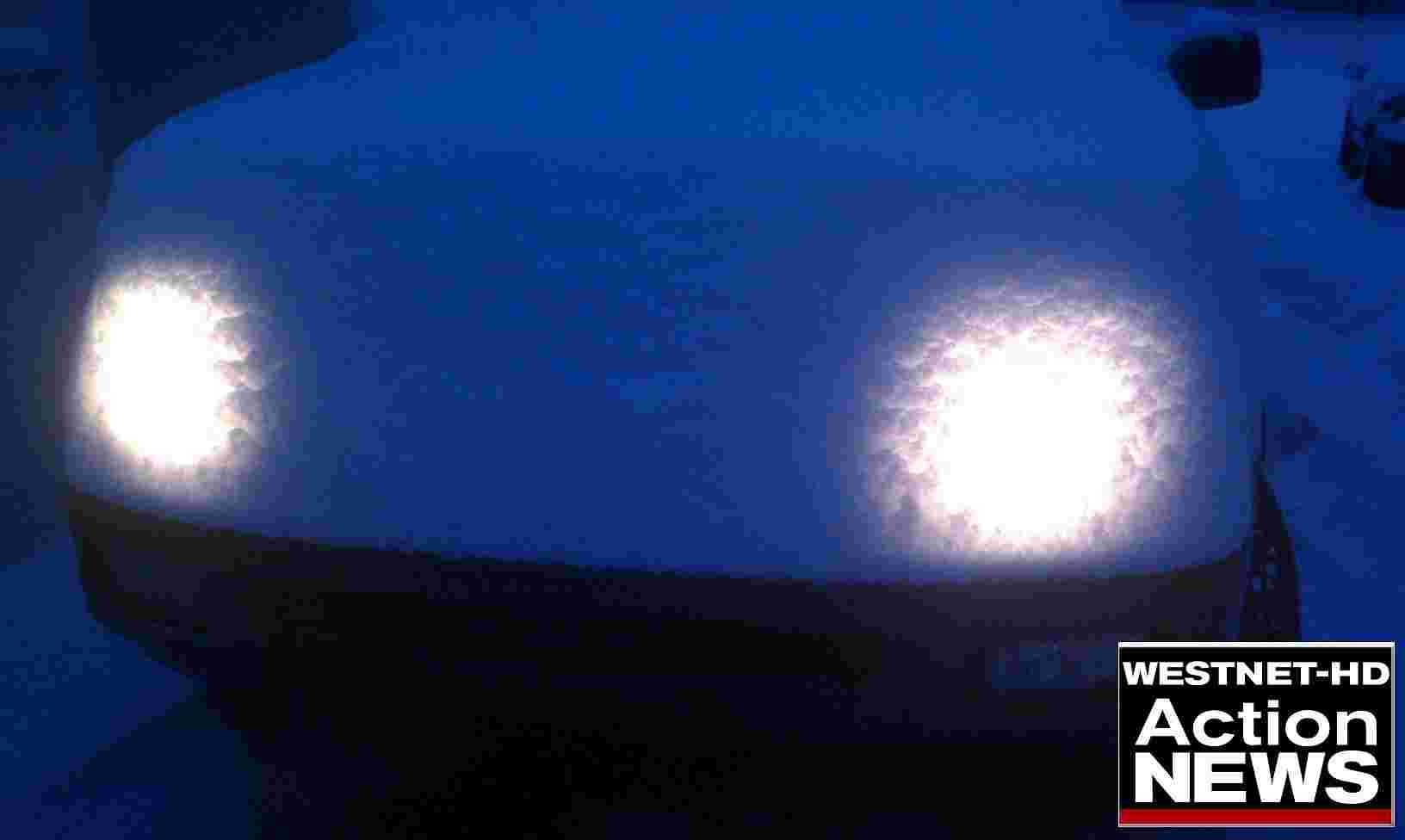
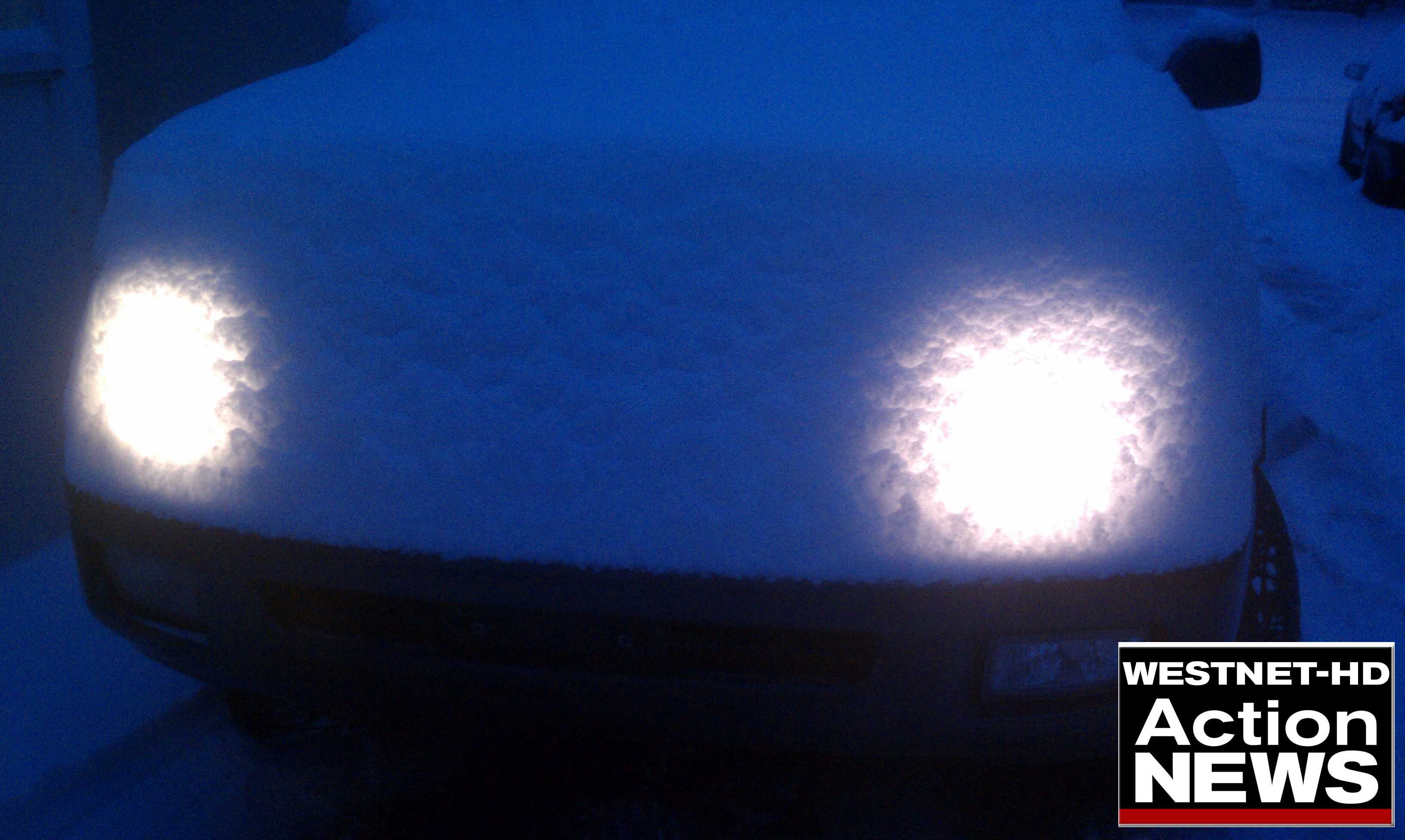
The onshore flurries and snow squalls arrived right on schedule along the West Coast of Newfoundland on Sunday. A solid 5-10 to even 15 cm fell for in the Corner Brook & Gros Morne areas last night... with more on the way today & tonight.
Picture courtesy of Mike O'Dea
Snow Squall Watch remains in effect for Corner Brook & Gros Morne with forecast models dropping another 5-10, to as much as 15 cm in localized areas, by Tuesday evening. Click here for the latest Watches/Warnings.
For those in Eastern Newfoundland, this weekend was a much different story. Highs of 9 on Friday and Saturday and a high of 12 on Sunday in St. John's! This past Weekend was very Spring/Fall like.
However that is about to change...
THE WEEK AHEAD
-If there is 1 common theme across the Province this week, it's cold! Without a doubt, this will be the coolest sustained shot of Arctic air so far this season. Today will be the warmest day of the week for many, with chilly temperatures funneling in from the Northwest. High's near the freezing mark are on the menu for Newfoundland for the rest of the week, while highs near -10 look likely from HV-GB to Labrador City. Bundle up!
-Our Weekend system will continue to slowly depart to the North over the next few days, as an area of High pressure settles in and helps to cool things down. As mentioned, Snow Squalls will continue along the West Coast into Tuesday and there's a chance of flurries (mixed with showers in the East) for much of the Island today & tomorrow... but some Sunshine too. Indeed a little taste of everything over the next 36.
THE NEXT 36 HOURS
SNOW ON THE WAY FOR EASTERN & CENTRAL NEWFOUNDLAND?
-By the time we get to Wednesday, the focus will be on an approaching system from the South. With the coldest air of the season parked over Newfoundland, a weak Low moving off the Coast of the U.S. will intensify as it moves Northeastward.
-And of course, there are plenty of ideas on system, including the intensity of the Low, how exactly it takes shape and what the eventual track may be. All 3 of the main 'go to' forecast models for this region (Canadian, American GFS & European) have all been "trending East" with the track over the past few days, which increases the chances for at least some Snow for Central & Eastern Newfoundland.
To give you a sample of the variety of ideas right now...
-The Canadian model is currently showing a quick shot of Snow changing to Rain over Eastern Newfoundland on Wednesday night. It clears things quite quickly on Thursday, with more cold air and a weak trough spinning into Newfoundland from the North, with some light snows into Friday.
-The European forecast model (below) is currently showing the most intense Storm out of the 3. It brings a quick shot of Snow/Rain to Eastern Newfoundland on Wednesday night, before a brief break early on Thursday. The Euro model is thinking a main Low will develop in the trough further South, which would move in Thursday night and into Friday. Again, some Rain would mix in over the Avalon, while this setup would bring lots of Snow to Central Newfoundland. The Low would continue to intensity as it moves almost straight North of the Island & into Labrador Sea. That would mean more Snow & powerful winds for Central & Northwest Newfoundland & then Coastal Labrador through the day on Friday. This my friends, would be a big Storm. Have a look.
-The latest American GFS model is somewhere in between right now, but closer to the Canadian. It also develops the main Low a little further South and brings Snow to Rain over Eastern Newfoundland on Wednesday night/Thursday. It drops some Snow over Central Newfoundland as well, however it doesn't quite develop the system into a big storm and clears things slowly Thursday & into Friday.
MONDAY EVENING UPDATE: The latest GFS American & Canadian models are now looking pretty similar with the track & setup for Wednesday night/Thursday. Both have a Snow to Rain event for the Avalon, with some Snow for areas further West & into Central Newfoundland as well. However, the latest European is sticking to it's guns with a secondary Low developing into a Big Storm. Stay tuned!
-Adding to the uncertainty... ocean temperatures still running well warmer than normal off the Coast of Newfoundland (especially to the South) and no Snow on the ground right now always makes it challenging. This my friends, will be a very challenging forecast.
As always, stay tuned to the Live Blog at www.cbc.ca/ryansnoddon for the very latest.
Ryan









_(720p).jpg)

 OFFICIAL HD MUSIC VIDEO.jpg)
.jpg)


