WILMINGTON, N.C. (AP) Coastal residents fleeing a potentially devastating blow from Hurricane Florence encountered empty gasoline pumps and depleted store shelves as the monster storm neared the Carolina coast with 140 mph (225 kph) winds and drenching rain that could last for days.
While some said they planned to stay put despite hurricane watches and warnings that include the homes of more than 5.4 million people on the East Coast, many werent taking any chances.
The National Hurricane Center and computer models have shifted the forecast track for Hurricane Florence noticeably to the south and west, but it doesnt mean northern North Carolina, Virginia and other mid-Atlantic states are in the clear.
The official track has Florence hovering off the southern North Carolina coast from Thursday night until landfall Saturday morning or so, then veering south through South Carolina and Georgia into Monday.
Support Free Journalism
Already contributed? Log in to hide these messages.
Meteorology director Jeff Masters at the private Weather Underground says Florence will come roaring up to the coast Thursday night and say Im not sure I really want to do this, and Ill just take a tour of the coast and decide where I want to go inland.
If these projections hold, University of Miami hurricane researcher Brian McNoldy says its exceptionally bad news, as it smears a landfall out over hundreds of miles of coastline, most notably the storm surge. McNoldy says the rainfall has been and continues to be a very substantial threat over the entire area.
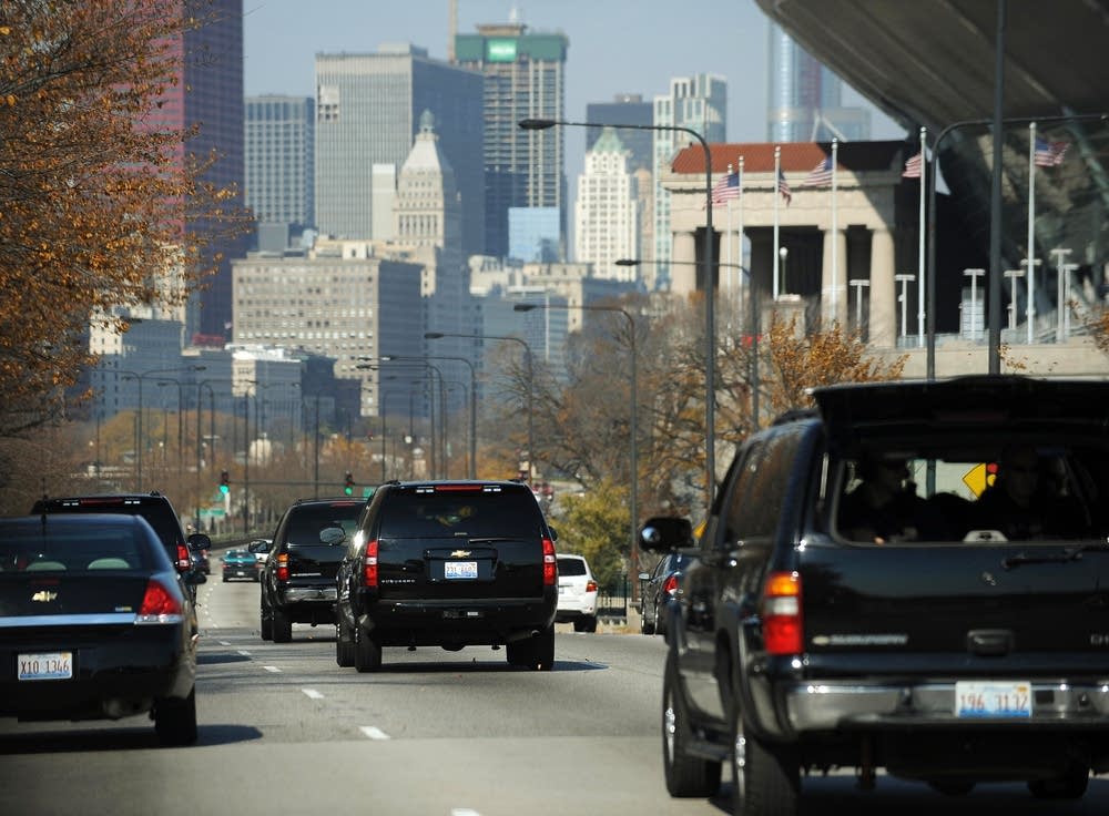
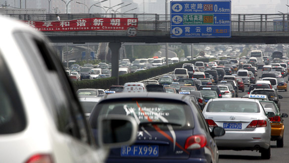
Steady streams of vehicles full of people and belongings flowed inland Tuesday as Gov. Roy Cooper tried to convince everyone on North Carolinas coast to flee.
Support Free Journalism
Already contributed? Log in to hide these messages.
The waves and the wind this storm may bring is nothing like youve ever seen. Even if youve ridden out storms before, this one is different. Dont bet your life on riding out a monster, he said.
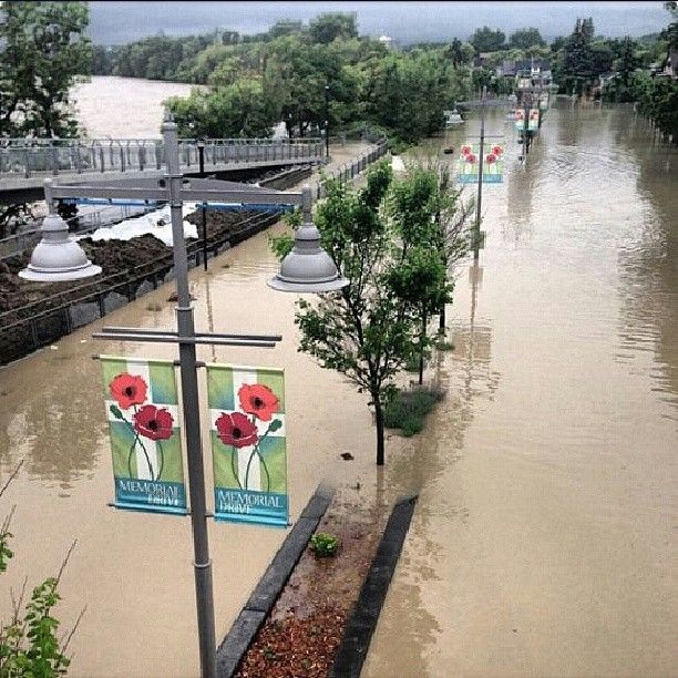
Forecasters said hurricane-force winds will be blowing ashore early Friday as Florence stalls along the coast before dumping a torrential 1 to 2 feet (0.3 to 0.6 meters) of rain. Flooding well inland could wreak environmental havoc by washing over industrial waste sites and hog farms.
Up to a foot of rain is now predicted places in the southern Appalachian mountains as projections shifted the storms eventual path southward. This rainfall would produce catastrophic flash flooding and significant river flooding, forecasters said Wednesday.
Hurricane Florence is making its way to the US East Coast. It was a potentially catastrophic Category 4 storm but was expected to keep drawing energy from the warm water and intensify to near Category 5, which means winds of 157 mph or higher. (Sept. 12)
President Donald Trump declared states of emergency for North and South Carolina and Virginia, opening the way for federal aid. He said the federal government is absolutely, totally prepared for Florence.
All three states ordered mass evacuations along the coast. But getting out of harms way has proved difficult.
American and Southwest Airlines were among the carriers canceling flights to and from the hurricane zone starting Wednesday. Charleston International Airport in South Carolina tweeted that it expected to close runways by midnight Wednesday.
Michelle Stober loaded up valuables on Tuesday at her home on Wrightsville Beach to drive back to her primary residence in Cary, North Carolina. Finding fuel for the journey was tough.
This morning I drove around for an hour looking for gas in Cary. Everyone was sold out, she said.
Florence is so wide that a life-threatening storm surge was being pushed 300 miles (485 kilometers) ahead of its eye, and so wet that a swath from South Carolina to Ohio and Pennsylvania could get deluged.
People across the region rushed to buy bottled water and other supplies, board up their homes, pull their boats out of the water and get out of town.
Long lines formed at service stations, and some started running out of gas as far west as Raleigh, with bright yellow bags, signs or rags placed over the pumps to show they were out of order. Some store shelves were picked clean.
Theres no water. Theres no juices. Theres no canned goods, Kristin Harrington said as she shopped at a Walmart in Wilmington.
People werent the only ones evacuating. Eight dogs and 18 cats from a shelter in Norfolk, Virginia, were sent to two shelters in Washington to make room for pets expected to be displaced by the hurricane. Wild horses on the barrier islands were expected to survive.
At 8 a.m., Florence had top sustained winds of 130 mph (215 kph) and was centered 530 miles (855 kilometers) southeast of Cape Fear, North Carolina, approaching the coast at 17 mph (28 kph). Already a potentially catastrophic Category 4 hurricane, it was moving over warmer water and expected to intensify to near Category 5, which means winds of 157 mph (253 kph) or higher.
Significantly, hurricane-force winds extended 70 miles (110 kilometers) from the eye, and tropical-storm-force winds reached 175 miles (280 kilometers) outward, making outdoor preparations difficult or dangerous as early as Thursday.
Florence is the most dangerous of three tropical systems in the Atlantic. Tropical Storm Isaac was east of the Lesser Antilles and expected to pass south of Puerto Rico, Hispaniola and Cuba, while Hurricane Helene was moving northward away from land. Forecasters also were tracking two other disturbances.
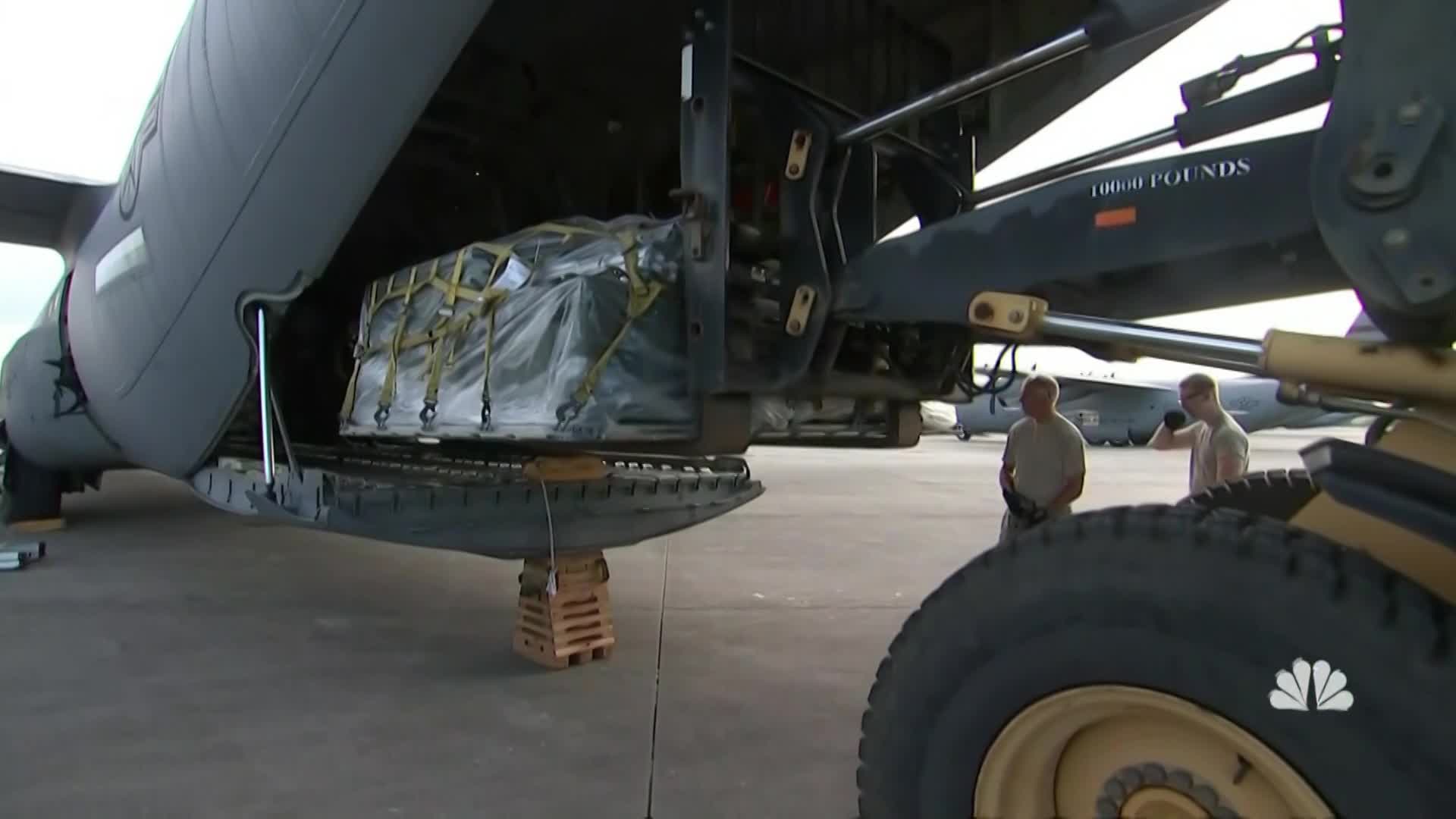
The coastal surge from Florence could leave the eastern tip of North Carolina under more than 9 feet (2.75 meters) of water in spots, projections showed. The Navy, Air Force and Army were moving ships and aircraft out of harms way. Thousands of Marines and their families evacuated from Camp Lejeune, leaving the rest to dig in ahead of what could be a direct hit.
This one really scares me, National Hurricane Center Director Ken Graham said.
Federal officials begged residents to put together emergency kits and have a plan on where to go.
This storm is going to knock out power days into weeks. Its going to destroy infrastructure. Its going to destroy homes, said Jeff Byard, an official at the Federal Emergency Management Agency.
Forecasters said parts of North Carolina could get 20 inches (50 centimeters) of rain, if not more, with as much as 10 inches (25 centimeters) elsewhere in the state and in Virginia, parts of Maryland and Washington, D.C.
One trusted computer model, the European simulation, predicted more than 45 inches (115 centimeters) in parts of North Carolina. A year ago, people would have laughed off such a forecast, but the European model was accurate in predicting 60 inches (150 centimeters) for Hurricane Harvey in the Houston area, so you start to wonder what these models know that we dont, University of Miami hurricane expert Brian McNoldy said.
Rain measured in feet is looking likely, he said.
Florences projected path includes half a dozen nuclear power plants, pits holding coal-ash and other industrial waste, and numerous hog farms that store animal waste in huge lagoons.
Duke Energy spokesman Ryan Mosier said operators would begin shutting down nuclear plants at least two hours before hurricane-force winds arrive.
North Carolinas governor issued what he called a first-of-its-kind mandatory evacuation order for all of North Carolinas fragile barrier islands. Typically, local governments in the state make the call on evacuations.
Weve seen noreasters and weve seen hurricanes before, Cooper said, but this one is different.
Despite all that, 65-year-old Liz Browning Fox plans to ride the storm out in the Outer Banks village of Buxton, North Carolina, despite a mandatory evacuation order. Her 88-year-old mother refused to evacuate and will stay with her.
Everyone who is staying here is either a real old-timer, someone who doesnt know where would be better, or someone involved in emergency operations one way or another, said Fox.
Associated Press writers Seth Borenstein in Washington; Jennifer Kay in Miami; Gary Robertson in Raleigh, North Carolina; Jeffrey Collins in Latta, South Carolina; Meg Kinnard in Columbia, South Carolina; Jeff Martin and Jay Reeves in Atlanta; and Tamara Lush in St. Petersburg, Florida, contributed to this report.
___
For the latest on Hurricane Florence, visit https://www.apnews.com/tag/Hurricanes .
Support Free Journalism
Already contributed? Log in to hide these messages.





_(720p).jpg)


 OFFICIAL HD MUSIC VIDEO.jpg)
.jpg)


