Outage warnings as fall storms arrive in drought-stricken B.C.
B.C. Hydro says atmospheric rivers could take down trees that have been weakened by ongoing drought
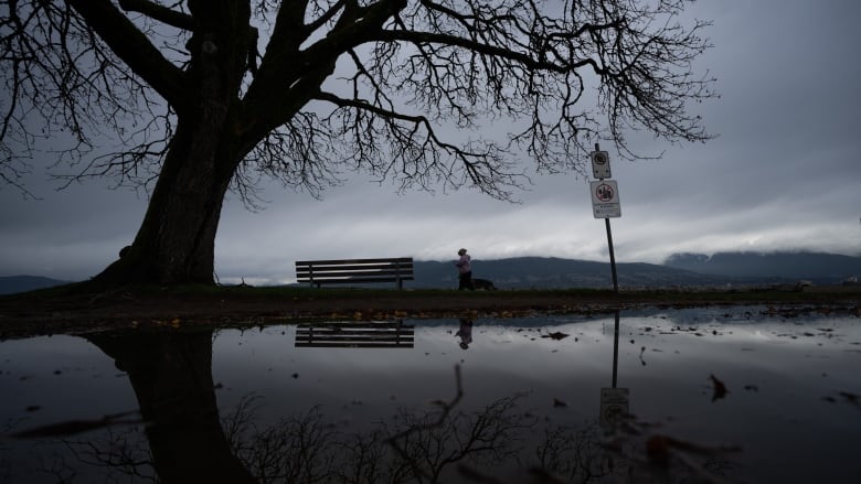
British Columbians are being warned to brace for power outages this fall as heavy storms and atmospheric rivers move in following a hot, dry summer.
Electricity provider B.C. Hydro sent out a warning Wednesday that residents should prepare for widespread outages in the days and weeks ahead.
The utility said it is expecting trees, weakened by a multi-year drought, to be damaged in any storms,and they could then takeout electricity lines and poles.
"A multi-year drought that began about three years ago is continuing to put local vegetation under stress, damaging roots, treesand soil in many parts of the province," hydro spokesperson Susie Rieder said in an email release.
"Trees weakened by years of drought can be more susceptible to wind and stormy conditions, and could be at risk of falling over, contributing to power outages."
She said Vancouver Island and northern B.C. are at the highest risk.

The warning comes as a series of atmospheric rivers begin arriving on British Columbia's north and central coasts and movinginto the Interior.
The River Forecast Centre has issued high-stream flow advisories and several flood watches throughout the province, as well as one higher-level flood warning for the Telkwa River in northwesternB.C.
The centre says the river east of Terrace peaked Tuesday, registering flow levels between a 20- and 50-year return period, while most other coastal rivers had been peaking at levels typically seen every one to five years.

Several roads and highways were also closed or had reduced traffic flows due to localized flooding and mudslides.
The centre says moderate to heavy rain had started spreading across the Interior, where a flood watch is in effect for the North Thompson region, including tributaries around Clearwater.
Wednesday's bulletin says no major flooding is expected in the Interior, but heavy rainfall could worsen runoff from areas scorched by wildfire.
Lower-level streamflow advisories cover the Cariboo region, including the headwaters of the Quesnel River, as well as the South Thompson, upper Fraser and upper Columbia rivers and their surrounding areas.
Environment Canada, meanwhile, has issued a series of wind warnings and special weather statements across much of the province.
The weather office says many areas in the southern Interior and southeast are expected to see strong winds and heavy downpours through Wednesday night.
Another bulletin says an intense low-pressure system the remnants of Typhoon Pulasan will also bring strong winds to the coast on Thursday.
It says winds are expected to reach speeds of 90 km/h, with gusts up to 120 km/h on exposed coastal sections of northern Vancouver Island, Haida Gwaii and the central coast.
With files from The Canadian Press


_(720p).jpg)


 OFFICIAL HD MUSIC VIDEO.jpg)
.jpg)


