Winter storm warnings in effect for much of central, northern B.C.
Up to 25 centimetres of snow expected in some areas: Environment Canada
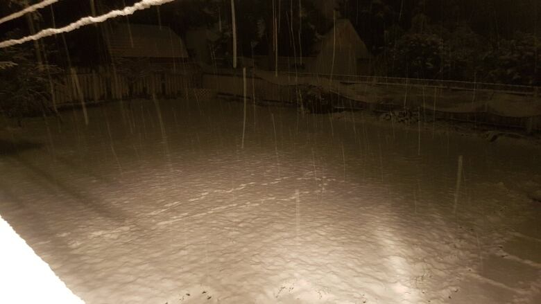
Environment Canada has issued winter storm warnings for much of central and northern B.C. as a weather system moving across Alaska brings snow, freezing rain andice pellets to the province.
Between 15 and 25 centimetres of snow is possible Monday for the northernmost parts of B.C., from Prince George to the Cassiar Mountains and Dease Lake east to the Yellowhead region. The snow is also expected to hit Highway 97 in the Pine Pass, according to the weather agency.
The weather could make driving dangerous and those on the roads are asked to slow down and use caution.
The snow should ease off in the afternoon as the Alaskan weather system continues rolling east.
Further south, more freezing rain is in store for the North Coast. A mix of snow and rain began Sunday night and is expected to continue until temperatures rise later Monday.
"Hazardous winter weather" isforecast for the Chilcotin, Cariboo and Stuart-Neckako areas.
Environment Canada said last week the early wintry weather in B.C. is part of the La Nia global atmospheric phenomenon affecting Western Canada, pushing Arctic air south. It means winter will likely begenerally colder than in other years.


_(720p).jpg)


 OFFICIAL HD MUSIC VIDEO.jpg)
.jpg)


