How drones are quietly changing the face of Ontario agriculture
A 21st century twist on the idea of swords to ploughshares
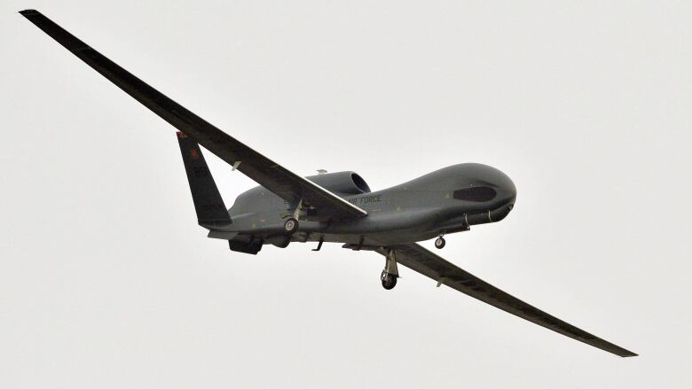
The same technology used inmilitary aviation "drones" isflying over farmland in southwestern Ontario, and it is quietly changing the face ofagriculture.
Drones, also known as unmanned aerial vehicles (UAVs), havebecome part of a farmer's strategy for crop and livestock management, helpingdrive an era of "data-driven" agriculture, which could reduce food costs and helpthe environment.
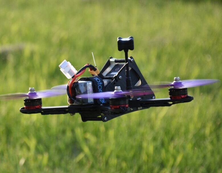
Smaller, more powerful, inexpensiveUAVs are devices about the size of a bread box in the shape of anything fromminiature fixed-wing aircraft to rotor-bladed "quad-copters" loaded with highresolution point-and- shoot cameras, thermal imagery, geographic informationsystems, flight pattern software and GPS.
Smaller, cheaper and more powerful
Dr. Mary Ruth McDonald of the Ontario Agricultural College at theUniversity of Guelph has been researching the power of UAVs and their imageryat the Holland Marsh, an hour or so north of Toronto.
She says the units are gettingsmaller, cheaper and more powerful,making them an attractive crop managementtechnology for farmers in the last 10 years.
"Even before that, people were interested in satellite images to assess crops. In thelast 10 years, the whole area has really exploded to include things like using dronesto spray areas that are difficult to access, and using drones for things like countingapples in an orchard," McDonald said.
Researchers like McDonald say that UAVs provide farmers with preciseinformation because the systems can see what people can't.
Drones see what people can't
"While the human eyecan detect a lot by looking at images, drone technology can add a layer ofobjectivity.The images provided by the drone and counting the pixels are a finerand more accurate assessment of the amount of disease in a plot or a treatment," she said.
AgTech GIS of Embro, near Woodstock, Ont., is a crop-input service provider andconsultant providing Ontario agriculture withtechnologically advancedimagery collection and analysis.
"We use a lot of all the latest technologies, whether GPS or receivers to all thetractors and combines," according to AgTech'sKaron Cowan, "Everything we do is mapped and all the information isspatially related."
UAV technology means accessing rugged terrain, covering huge acreages of crops,analyzing water content in soil for irrigation, and helping ranchers track theirroaming herds.
There is even technology that candistinguish between weeds and crops and then communicate that information to aweeding machine on the ground.
Unlike satellite imagery, which provides information manydays after flying over, UAVs can be used daily,even hourly,with software thatcan combine images as a time lapseanimationof the crop or field.
Saving money and the environment
Felix Weber is acrop consultant who operates Ag Business &Crop in Palmerston, Ont., inWellington County. He says images collected from UAV flights can save a farmermoney and help reduce chemicals going into the soil.
He gives an example of wheat damaged over the winter. Rather than addingnitrogen to the entire field in trying to save the wheat, UAV analysis suggestedtargeting only certain areas of the field. That saved money and was moreenvironmentally friendly.
"My recommendation was not to apply nitrogen where there wasn't enough wheat.That was a cost savings to the farmer and 80 per cent of nitrogen was added ratherthan 100 per cent."
"We made a decision based on actual acres that we saw," saidWeber.
Human expertise out in the fields combined with preemptive drone strikes oftimely, accurate aerial information could conceivably mean that farmers can keepmore money to build their businesses at the same time consumers can save moneyon food, according to OAC's McDonald.
"One advantage of this technology is early detection of diseases or insect pests, sothat's a good thing for the farmer and the consumer."


_(720p).jpg)


 OFFICIAL HD MUSIC VIDEO.jpg)
.jpg)


