Weather warnings issued for most of southern Manitoba
Heavy rain, gusty winds, thunderstorms expected Monday and Tuesday
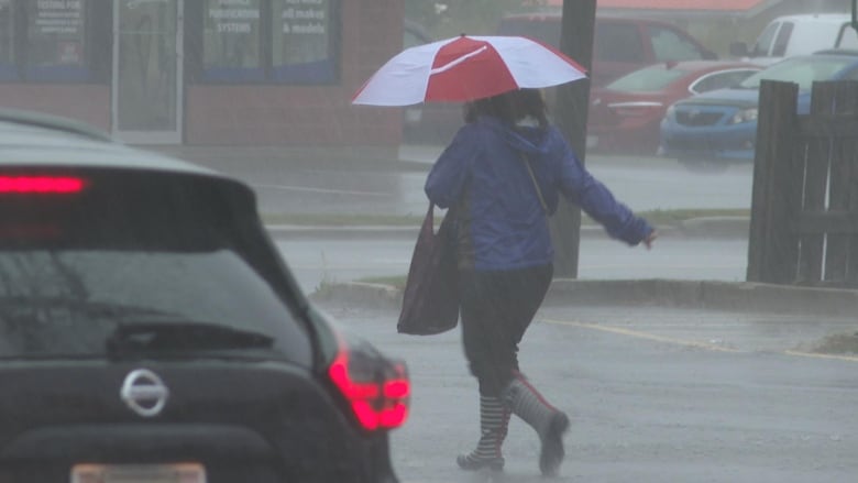
Southern Manitoba is bracing for yet another Colorado low, according to Environment Canada.
The powerful system is expected to bring high windsto areas of western Manitoba, including Brandon, and significant rainfall amountsto south central and southeastern areas of Manitoba, including Winnipeg, according to a special weather statementtoday and Tuesday.
The first band of showers and potential thunderstorms is expected to move into southern parts of the province this afternoon, with several more potentially developing before the system leaves Manitoba late Tuesday, says thenational weather agency.
Rainfall totals in the 30-50 mm range are expected in the Whiteshell, Steinbach, Winkler, Portage la Prairie, Gimli, Arborg, Poplar River and surrounding areas.
Heavy downpours in localized areas are also possible, and additional watches and warnings may be issued by Environment Canada as this system develops.
In western Manitoba, severe wind gusts of up to 90 km/h are expected over the next two days.The northerly winds will likely strengthen this afternoon and reach 60 km/h with gusts of upto 90 km/h in the evening.
The wind warningis in effect for communities including Neepawa, Killarney, Melita, Virden, Dauphin, Gladstone and surrounding areas, Environment Canada sayson its website.
The strong winds will continue through the overnight hours and into Tuesday morning before diminishing later in the day as the system moves into northwest Ontario, according to the agency.
Damage to buildings, such as roof shingles and windows, may occur, and loose objects may be tossed by the wind and cause injury or damage.
Power outages due to the high winds are also possible.
Motorists, especially those on the highway, should expect hazardous driving conditions.
Overland flooding, wind warnings
An overland flood warning has also been issued for Manitoba's southeastern corner, the province said in a flood bulletin on Sunday.
The update comes as the province monitors a weather system that could bring between 30and 50millimetres of rain over the next three days, with potential for heavy thunderstorms to bring even more to certain areas.
Water levels on lakes, streams and drains are already high and soils are saturated with water, so the rain forecast in those parts of the province could result in overland flooding on Monday and Tuesday, the bulletin said.
Depending on how intense the rain is, water levels could rise rapidly and threaten low-lying or nearby properties as well as roads, crossings and other infrastructure.

With winds expected to gust up to 80 to 100 km/h, a severe wind effect warning has also been issued for Tuesday in the south basins of Lake Winnipeg, Lake Manitoba, Lake Winnipegosis and Dauphin Lake.
The winds will cause water levels to rise by more than five feet along shorelines and cause powerful waves that will further add to the temporary increase in water levels, the bulletin said.
People in the area should remain vigilant and take necessary precautions. Areas on Lake Winnipeg that are affected include the entirety of the southern basin shoreline south of Manigotagan on the east side to just south of Riverton on the west side of the lake.
For Lake Manitoba, the affected shoreline includes the areas starting just north of Lundar Beach around the southern basin of the lake to a point near Langruth and portions of the north basin.
The southern shorelines of Lake Winnipegosis and Dauphin Lake are also included as part of this wind warning.
The forecast wind is also expected to hit the Whiteshell lakes region, with water levelsexpected to rise between one and two feet along the lakes.
People are advised not to travel into the Whiteshell lakes Area and Winnipeg River basin upstream in Ontario because of very high flows and water levels, which are expected to rise further after it rains.
The rising water levels and rapidly evolving conditions continue to pose a significant public safety risk, the bulletin said.
To date, 38 states of local emergency have been declared in Manitoba because of flooding.


_(720p).jpg)


 OFFICIAL HD MUSIC VIDEO.jpg)
.jpg)


