Driving to work? Here's a rundown of what to expect with today's storm
This is what Wednesday's storm might look like in New Brunswick and how you could be affected
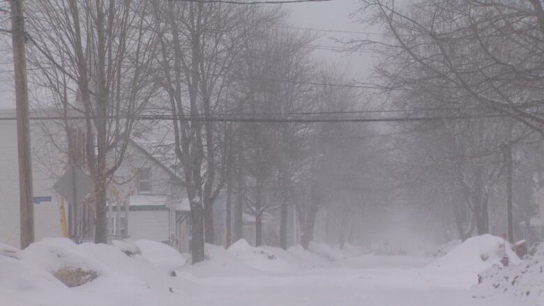
New Brunswickers are being urged to stay off the roads as a winter storm pushes its way through the province today.
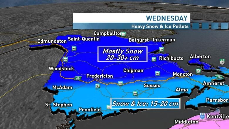
Environment Canada has issued a winter storm warning for the entire province and some parts could see snowfall totals between 20 and 40 centimetres.
"It will pack a punch but nothing that we haven't seen before," said CBC meterologistRyanSnoddon.
So here's how the day might unfold:
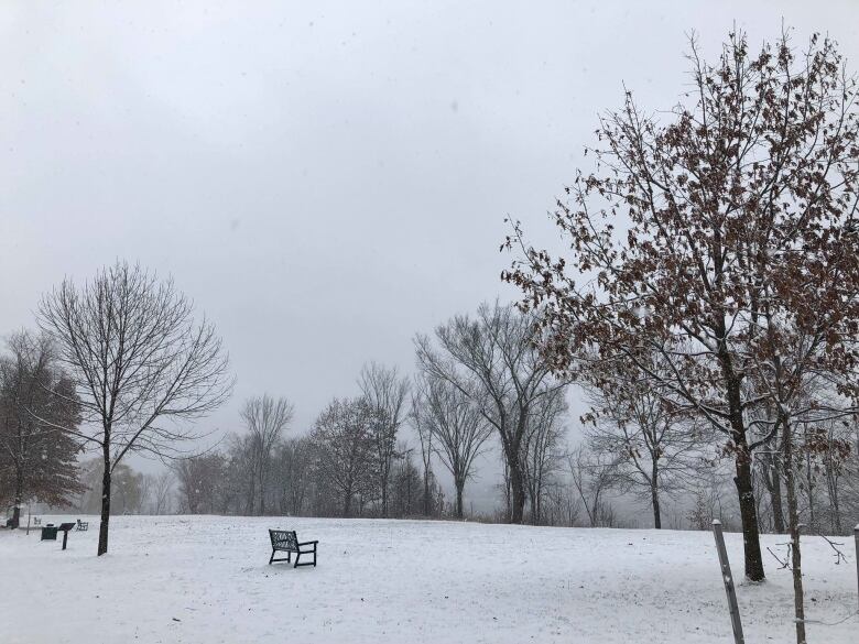
Midnight to 6 a.m.snow starts to fall
A low-pressure system approaching from the southwest will cross the Maritimes.
Snoddon said snowwill start to fall in the Grand Manan area and make its way across most of the province.
At that time, most of New Brunswick can expect a "trace to a couple of centimetres" of snowexcept the Acadian Peninsula, which will see snow a bit later.
But southwestern areas like St. Stephen, GrandManan, will see up 5 cm of snow before 6 a.m.
6 a.m. to noonheavy duty snow
Snow will start to fall in the Acadian Peninsula between 6 a.m. and 9 a.m., and willstart picking up elsewhere across the province with heavy accumulations.
Winds will also start gusting between 50 and70 km/h across the province, which will cause blowing snow and reduced visibility for motorists.

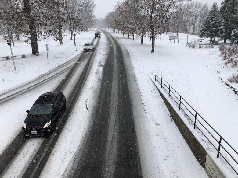
Snoddon said drivers can expect to be dealing with snow by the time they hit the roads in the morning.
"This will be a challenging commute even for seasoned winter drivers," he said.
Between 9a.m. and 12 p.m., ice pellets will also start mixing with snow in the southern half of the province, including theMoncton, Fredericton, Woodstock and Saint John areas.
Emergency officials are reminding motorists to drive carefully or even to stay off the roads if they can.
"The snow,compounded by ice pellets, will affect handling of vehicles, raising the risk of accidents and vehicles getting stuck," said David McKinley, assistant deputy chief for the Fredericton Fire Department.
From 12 p.m. to 5 p.m. here comes freezing rain

The southern half of the province will see an increase of snow, mixed with ice pellets and freezing rain. The Fundy coastline could also see a bit of rain.
More snow and blowing snow is expected in northern areas of the province throughout the afternoon.
By 5 p.m. northern parts of the province will see between 20 and 30 cm of snow.
As a result, motorists across the province will also face a challenging drive home.
Wednesday evening into overnight
Northern parts of the province could see additional snowfalls reaching up to 40 cmin some places.
The southern half of the province will see between 15 and 20 cm of snow.
Snow will eventuallytaper to flurries Wednesday evening into the overnight hours for both the southern and northern half of the province.
Winds are also expected to die down.
But in the southern part of the province,40 to 50 km/h winds are still expected into Thursday morning.
Flurries will linger until early Thursday morning but will have tapered offby the time people wake up and start their day.
Snoddon said a lot of shovelling will take placeon Thursday.
"If you've got a snowblower, lucky you," he said.
Possible power outages

Marc Belliveau, a spokesperson for NB Power, said crews are ready to respond and the utility has been monitoringthe weather.
Hedoesn't expect the stormto cause any "significant challenges."
Belliveau said power outages will depend on wind gusts and ice pellets in the southern half of the province that could change to freezing rain.
"Coastal areas and the most southern parts of the province, which could receive some freezing rain, are the areas of most interest to us right now," he said in an email to CBC News.
Tuesday, Feb. 12, 8:55 a.m. / mardi, 12 fev, 8h55 #NBEMO #OMUNB #NBStorm pic.twitter.com/IrZij5L6G1
—@NBEMO_OMUNBGeoffrey Downey, a spokespersonfor the Emergency Measures Organization, said people should monitor the forecast throughout the day.
He said people should alsohave a 72-hour preparedness kit ready. It should include,water, food, battery-powered radio, flashlight, clothes, cash, backup medication and food for pets.
"New Brunswickers always need to be prepared, especially during the winter," he said.


_(720p).jpg)


 OFFICIAL HD MUSIC VIDEO.jpg)
.jpg)


