Weather anomaly pushing North Pole temperatures above 0 C
Average temperatures range from 13 C to 43 C this time of year
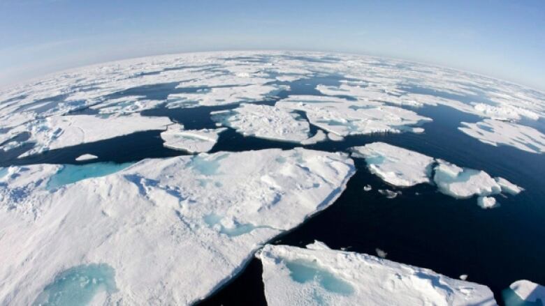
A weather anomaly sweeping across the world couldcause temperatures at the North Pole to reach nearly 4 C this week.
Texas, Australia and England are just a few of the regions that have seen a spate of extreme weather this month, including tornadoes,brushfiresandflooding. Now,forecasters say the North Pole is seeingtemperatures well above normal.
- Want more CBC North? Find us on Facebook
CBC North's resident meteorologist, AshleyBrauweiler, says the severe weather system that wreaked havoc in the U.S. and beyondis the reason.

"We have temperatures above zero near the poles and that's because the jet stream is bringing that warm air from the south up and along Greenland and Iceland.While storms here are normal, the strength of the storm isn't," Brauweiler said.
"They'reseeing the same storms that were affecting the southern [U.S.] states."
At the North Pole on Thursday, temperatures are expected to hit 3 C. On New Year's Dayit will be nearly 4 C.
Average temperature in the area normally range between 13 C to43 C this time of year.
"Fluctuations are very normal near the poles, so it's not that it's abnormal, it's just abnormally warm," Brauweiler said.
A strong low over the N. Atlantic helps soar temps >0 for the North Pole. Normals around 47 to 13 C. #CBCNorth pic.twitter.com/4kcsj9Wjke
—@a_brauweilerNorth Pole hard to predict
Temperatures at the North Pole can be hard to predict, given that there are no weather stations to determine how accurate forecasts are.
Environment Canada meteorologist Kirk Torneby says they receive temperature reports frombuoys floating on Arctic sea ice. They also usedatafrom observation stations in the High Arctic, such as Alert andGriseFiord but even those stations may not capture the true weather picture.
"There's not reallya really good, long-term record to compare it to," Torneby said.
He says a buoy reported 0 Cabout 300 kilometres from the North Pole Wednesday morning, but he believes the warm temperatureshavealready peaked.
"That strong pull of warm air is starting to shut off," Torneby said."I think the warmest temperatures are starting to fizzle out."
El Nino to thank?
The extreme weather this December has been blamed, at least in part, on El Nino, a phenomenon that occurs when water temperatures rise above normal across the central and eastern Pacific Ocean near the equator.
Brauweiler says it's hard to say whether the above-average North Pole temperatures are relatedto the El Nino, but it ispossible.
"It very well could be linked to El Nino," she said, "because you've got the warm air in the southern states and then the jet stream, which acts as a conveyor belt, just draws that warm air up."
Large parts of the Northwest Territories are also expected toseeunseasonably warm weather this weekend, with temperatures reaching -2 C in the Arctic coastal community of Paulatuk.
In Yellowknife,temperatures willreach-5 C on New Year's Day, which isabout 18 to20 degrees above normal.
However, Torneby says a different system is to thank.
"Warm temperatures over western Arctic and Yukon are mainly driven from some warm air that's starting to build up from the Pacific Ocean," Torneby said.
"That is affecting all of western Canada, bringing temperatures quite above normal for this time of year."


_(720p).jpg)


 OFFICIAL HD MUSIC VIDEO.jpg)
.jpg)


