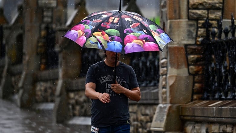
Several roads closed as remnants of tropical storm hit Ottawa area
Nearly 80 millimetres of rain had fallen on Maniwaki by 2 p.m.
The latest
- As of 6:10 p.m., according to the City of Ottawa, part of Steacie Drive has been closed due to flooding. It's unclear how long the closure will last.
- The city listed four other places where roads should be avoided due to flooding, mostly in west Ottawa:
- Old Second Line Road between Thomas A. Dolan Parkway and Murphy Side Road.
- MarchurstRoad at Murphy Side Road.
- March Road at Carp Road.
- Old Maple Lanebetween Thomas A. Dolan Parkway and Strode Avenue.
The tropical storm that's battered parts of South Carolina and Gulf Coast of Florida is mixing with a low-pressure system, leading to heavy, recordrain in eastern Ontario and western Quebec.
Environment Canada has issuedrainfall warningsfor almost all ofthe region.
There are now four different warnings associated with what's left of tropical storm Debby as of mid-morning Friday:
- Areas surroundingGatineau (not as far as Shawvilleor Gracefield)should get 80 to 120 millimetres of rain by Friday nightand could stretch closer to 140 millimetres.
- The rest of western Quebec, except for Gatineau, should get40 to 90 millimetres.
- Ottawa-Gatineau and communities east of Highway 416should get 80 to 120 millimetres of rain before it tapers off Friday night.
- Parts of eastern Ontario west of that, including Brockville, Smiths Falls and Renfrew, should get 50 to 75 millimetres.
There are no alerts for western Renfrew County. For example, Deep River is only expecting showers and a risk of a thunderstorm.
Flood watch for one area
Flash flooding and water pooling on the road are possible, especially in low-lying areas. Environment Canada also says there's a riskof thunderstorms.
The City of Ottawa has confirmed some flooding. Check its traffic map for the latest updates.
A flood watch has been issued by South Nation Conservation, which manages the watershedwithin a large swath of land including parts of east Ottawa.
It said the rain could lead to increased water levels and flows in rivers, plus slippery banks. Urban and poor-drainage area could flood, it said.
None of the other conservation authorities in eastern Ontario have issued such a statement.
In preparation for a flood, Environment Canada advises people to learn how to shut off their utilities and safeguard heating equipment, along with keeping sandbags and emergency kits.
In the case of a flood, don't try to walk through the water even if it looks shallowand also avoid driving through it.
Rain records set
Rain started at theOttawa International Airport between 4 and 5 a.m. Friday and in Kingston, between 7 and 8 a.m.
Ottawa had nearly 30 millimetres of rain by 10 a.m. and nearly 56 millimetres by 2 p.m., according to Environment Canada. That broke Ottawa's Aug. 9 rainfall record of 42.7 millimetres in 1946.
Ottawa's August daily record is 71.1 millimetres Aug. 11, 1887.
Maniwaki also basically doubled its daily record with 78 millimetres of rain by 2 p.m.
Friday's high is forecasted to be 22 C in Ottawa, with humidity making it feel more like 30 at its peak. The overnight low should be around 15 C and Saturday is looking like a sunny day in the mid-20s with a slight chance of afternoon showers.
Similar storm last month
Debby first made landfall as a Category 1 hurricane early Monday in Florida.
Since thenthe storm has been downgradedbutas of Thursday still had maximum sustained winds of 80 km/h as it barrelednortheast.
At least six people have died in Florida and Georgia in the wake of the storm.
The remnants of Hurricane Berylalso hit the Ottawa-Gatineau region about a month ago. Parts of Ottawa also experienced flash flooding nearly a year ago to the day.


_(720p).jpg)


 OFFICIAL HD MUSIC VIDEO.jpg)
.jpg)


