Cold weather pattern 'locked in position' over northwestern Ontario: Environment Canada
Brief relief from cold coming on the weekend, frigid temperatures expected to return
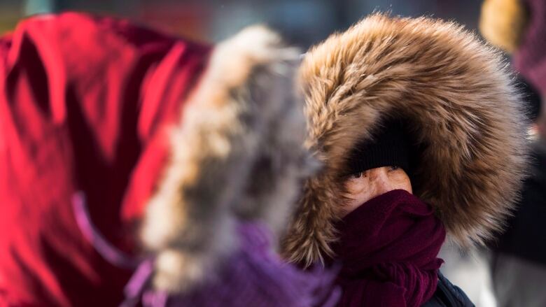
Keep those cars plugged in: northwestern Ontario is likely staying cold for a while, Environment Canada says.
"We have this air you know, the infamous polar vortex, if you will or this arctic air that has been just sitting," said Marie-Eve Giguere, a warning preparedness meteorologist with Environment Canada.
"It always wiggles around the North Pole in the winter, and now it just so happens that it digs over Ontario."
"It's not going anywhere," she continued, adding that the system will likely remain in place until February.
"In meteorology, we say we need a kicker. The weather pattern is sort of locked in a position, and then it just spins and spins and spins over the same area."
No 'kicker' in sight
A kicker, Giguere said, is another system that would move in and push the cold air out. But, unfortunately, she said, she doesn't see any kickers coming.
"Usually it's a vigorous system, a vigorous storm," Giguere said. "There's always a warm side and a cold side to storms, so when you get those vigorous systems, usually they come from the southern U.S., Colorado, or even further, like the Gulf of Mexico, then they're laden with moisture."
"That's when you get a real break in the weather pattern, because they come and they disturb this dome of cold air that's just sitting there,"Giguere said. "That's what I would be looking for, but unfortunately it's not happening."
There is a system coming to the region from Colorado, which will be bringing some snow to some areas, as well. However,Giguere said that system isn't strong enough to make any significant changes to the region's weather.
Brief respite this weekend
"It's not dragging enough warm air," she said. "What this system is going to do is ... just drag more cold air behind it."
There will be some brief relief this weekend, she said, when temperatures will rise to seasonal, which is about 10 C during the day, and about20 C at night. But then colder air is likely to return.
Some records have been broken, or have come very close to being broken, recently.
Marathon, for example, recorded temperatures of 38.7 C on Jan. 28, breaking a daily record of 37.2 C, which was set in 1918. Those temperatures don't include the wind chill.
Thunder Bay and Timmins, meanwhile, have both come close to breaking low temperature records in recent days.
The good news is, northwestern Ontario isn't likely to experience a cold snap like this again for some time.
"This cold snap is lasting for a long time,"Giguere said. "I'm expecting this will be a rare occurrence. It's pretty unusual to last for weeks."
You can hear the full interview on CBC'sUp Northafternoon program here.


_(720p).jpg)


 OFFICIAL HD MUSIC VIDEO.jpg)
.jpg)


