What you need to know about the snowfall hitting Toronto tonight
Expect 'deteriorating' driving conditions Friday evening, thanks to a Colorado low
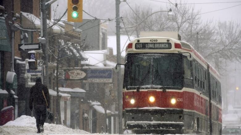
The good news: We survived Thursday's nightmarish night of heavy snow and wind. The bad news: Another one is on its way.
Enjoy it while you can, Toronto. The city can expect a brief respite starting with a mix of sun and clouds before more snow arrives Friday night bringing with it messy travel conditions.
Here's what to expect:
'Significant snowfall'
An extreme cold weather alert issued Wednesday also remains in effect Friday. The temperature as of 3 p.m.was -7.6 C, feeling like -15 C with the wind chill.
A special weather statement is in effect for the city in anticipation of a "significant snowfall" of five to 10 centimetres beginning Friday night into Saturday.
The white stuff should start falling lightly around 6 p.m., getting heavier in the overnight period. Some areas, especially those north and east of the city, may receive in the neighbourhood of 15 cm, meteorologist Mark Schuster said.
It's all thanks to a Colorado low that will bring milder air to southern Ontario on Saturday, causing the snow to to change over to rain and then back to snow on Saturday night as the colder air returns.
Travel conditions
Environment Canada is predicting "deteriorating" travel conditions Friday night. And if Thursday night was any indication, that could make getting around the city or in and out of it tricky.
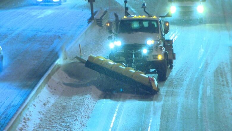
You can track real-time snow plowing and salting operations with the city's operations map.
Meanwhile, winter operations are also in effect at Toronto's Pearson International Airport. Travellers are advised to check with their airline to see if their flights are affected.
Winter operations are on effect today. Please check flight status with your airline or at https://t.co/siQEK1eP2c
—@TorontoPearsonSchool buses and classes are running, however the Toronto District School Board says there may be some school bus delays due to traffic and road conditions.
Thursday a preview of what's ahead?
On Thursday, the wintry conditions led to more than 500 collisions across the GTA and surrounding areas in under 24 hours, Ontario Provincial Police Sgt. Kerry Schmidt said.
Over 500 collisions since 6am today in the GTA and surrounding area.#SlowDown #DriveSafe pic.twitter.com/hvrWitmvQ4
—@OPP_HSDDozens of flights were cancelled and many more delayed at Toronto's Pearson International Airport and Billy Bishop City Centre Airport on Toronto Island Thursday evening, with whiteout conditions on roads and highways throughout the Greater Toronto Area.
Meteorologist Mark Schuster told CBC News that a snow squall moving as slowly as Thursday's is relatively rare for the city.
"Usually in Toronto if a snow squall affects the area, it moves through fairly quickly. However this one was so slow moving that it affected the region for a few hours and the snow was very, very heavy underneath it. So some areas got five to ten centimetres of snow in the span of two or three hours," Schuster said.
The snowfall also gave some university students extra time to cram. York University and Humber College cancelled their Thursday night exams, while Ryerson announced it would remain open with exams running as scheduled.
Some students were less than impressed with the decision.
@RyersonU Stuck in traffic for an hour already and not moving at all. Students safety and grades are at risk here. Make the call.
—@chrimaragna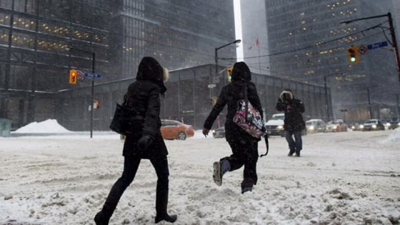


_(720p).jpg)


 OFFICIAL HD MUSIC VIDEO.jpg)
.jpg)


